Hello,
Thank you Master Braun, I really appreciate your help.
I just started again the classification with the software Qgis (With Sentinel 1 Images). I already had a shapefile containing the training area (made by another software), So my question is : Can I import my shapefile and use it with Qgis software? if yes, how can I do it?
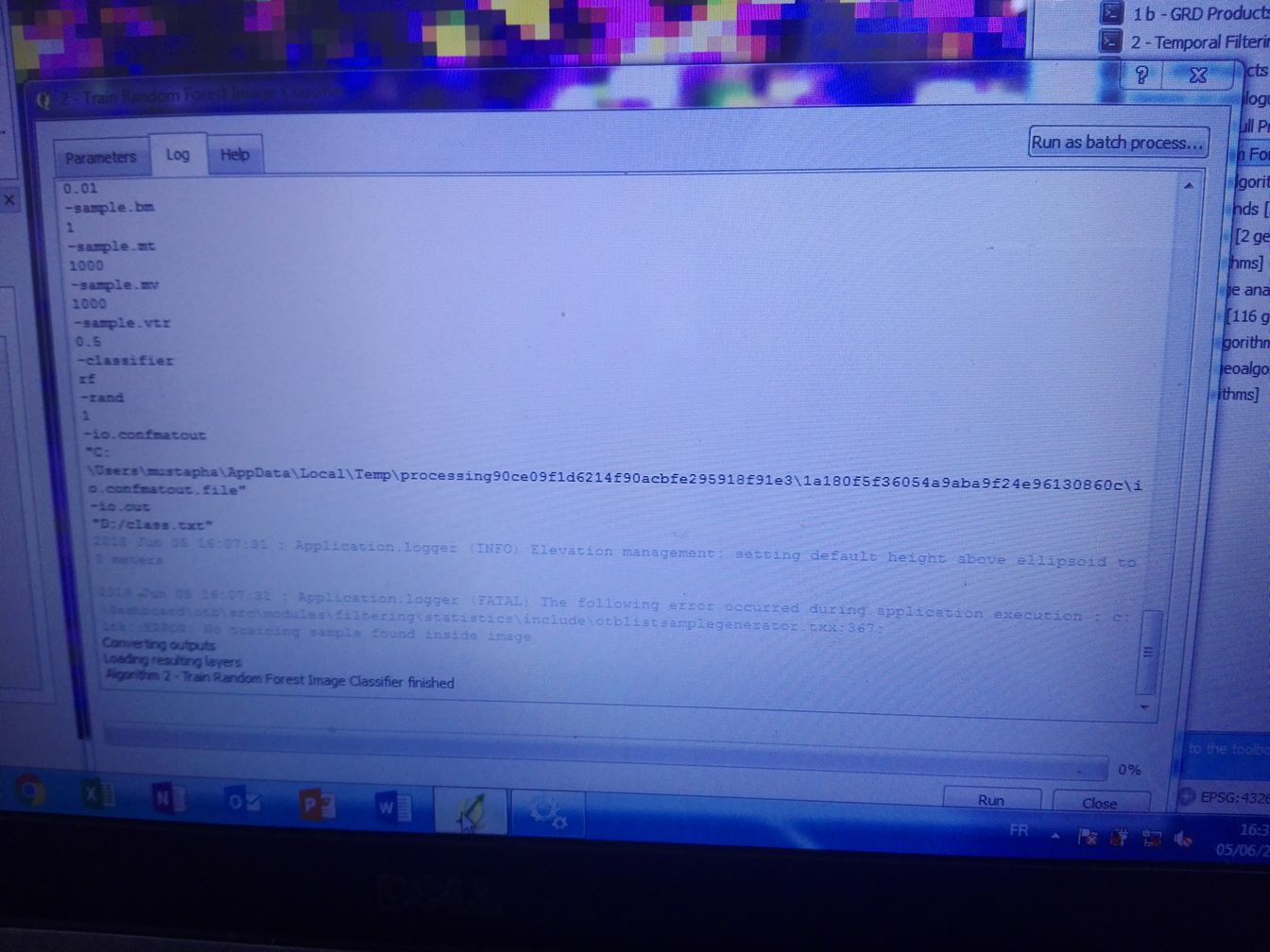
I also tried to make a classification, after creating a shapefile on Qgis, but I got this following message, in the attached image. Please what is the problem with my random forest classification?
bests,