SNAP Feedback
STEP Forum
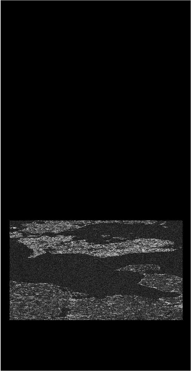
Coherence has gaps near SRTM 3 tile bounds
Microwave Toolbox
j08lue
May 31, 2019, 11:06am
11
With SRTM 1Sec HGT, the gaps are gone:
image.jpg
615×1193 139 KB
show post in topic