geographically offset
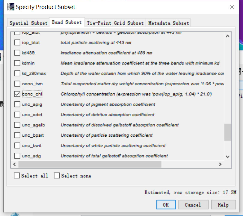
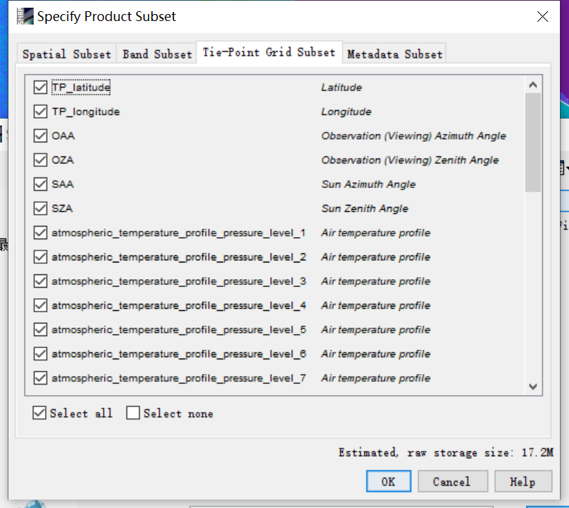
I am a new user of SNAP. When I export conc_chl with C2RCC as a single band, the shp file and conc_chl that were originally loaded into SNAP which can completely overlap are geographically offset (I selected longitude and latitude in the Tie-Point Grid TAB when exporting the subbands). How should I solve this problem?
Do you have any suggestions how I could solve this? Many thanks in advance!
My last problem has been basically solved. Before, it was caused by the large deviation of longitude and latitude due to the fact that tie point was not selected.
However, a new problem now is that the two aligned data displayed in SNAP show the deviation after export.
The vector file I imported is WGS84 coordinate, which is the standard position drawn in Google map. I want to overlay shp file and Chl image to preliminary check whether the geometric correction is correct.
In fact,I don’t really care about the exact geometric correction accuracy, as long as the two are aligned
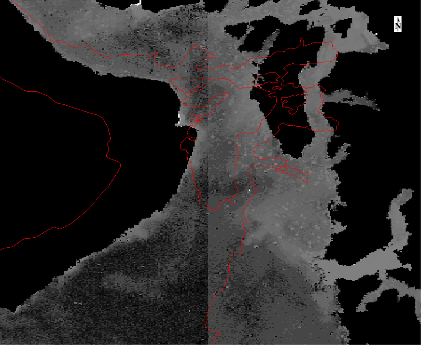
The first image is the image and vector displayed in SNAP
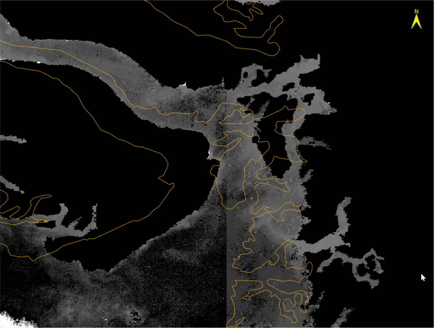
The second image is the image and vector displayed in envi
I didn’t change anything, and the projection didn’t change, but I don’t know why the image shifted
If you are going to read the image in ENVI, you can export directly in ENVI format. Did you try?
I have a few questions still:
Do you read your data with the per pixel geocoding or with Tie point grids?
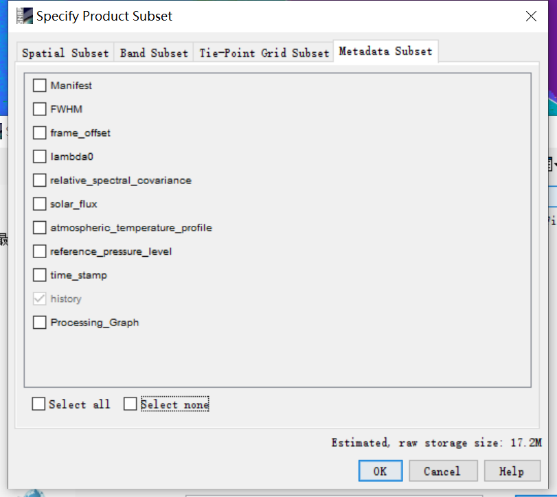
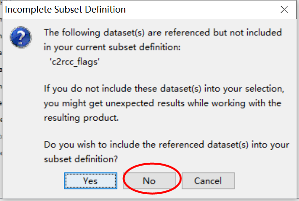
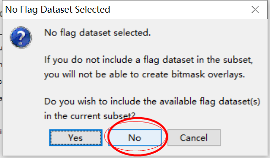
First you open the c2rcc scene and then you import the shapefile. Then with the subset operator you choose the chl_conc file but you do not choose the flags. Don’t you have a dependency in the iop_adg too? Or do you convert your virtual band to a regular band before subsetting? I see you do not save the metadata, I am not sure why. This will save your data as dimap again and then you export as Geotiff.
The shapefile I guess is opened later in ENVI, too, right?