Hi lveci and ABraun,
Thanks for the info.
I have terrain corrected the image as you suggested above (Nearest Neighbour in TC module for Image re-sampling method) . But I couldn’t find much change after Geo-coding.
Here are the images.
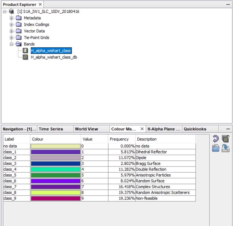
Before Geocode:
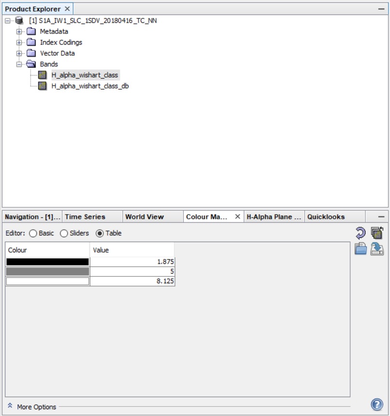
after Geocode:
Now what could be the alternate way to extract the polarimetric classified image to Geocoded data …?