Can I process different Tracks together? Because the number of images related to one or two Trackss for my study area is very low.There may be 3 or 4 for each year.
no, InSAR requires data from the same track
SNAP 5? Latest Version?
SNAP 8.0.3 is the latest version
Dear All,
So I tried to use PS InSAR method using ERS IMS data, and these are steps that i had done in SNAP & StaMPS:
- apply orbit file
- coregistration
- interferogram generation (with topographic phase removal)
- Export to StaMPS
and the staMPS gave me a strange result which is not geometrically corrected yet or wrongly corrected image, i am not encountered this problem when i am using Sentinel 1 images, since i receive result in geometrically corrected image
what mistakes i could possiblly have done ? do i need to do terrain correction first before export it to StaMPS ?
thank you all for your time and attention,
regards
can you please show a screenshot as an example?
1 Like
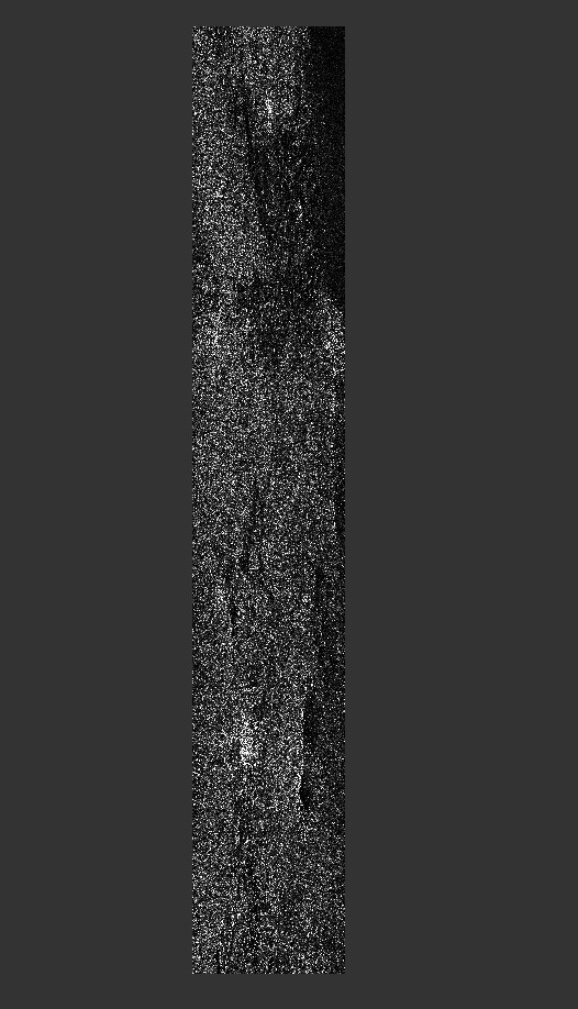
dear sir ABraun, pardon for the late reply
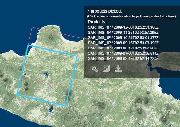
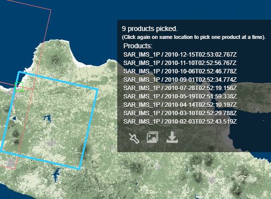
these are ERS IMS images (both are descending orbit, single VV polarization) 2009-2010 i use :
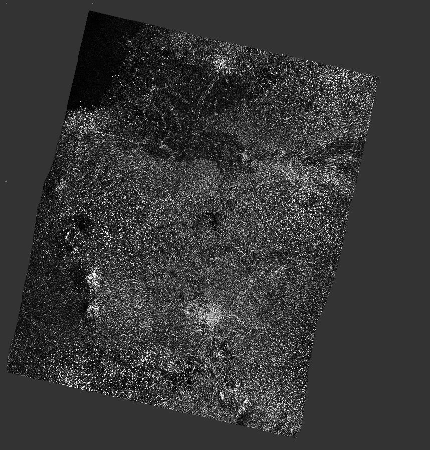
this is the staMPS results ( i am using default parameter, just to test it) :

and this is (not related), i tested terrain correction for the ERS data, and it shows appropriate image:
i was using the processing steps above that i was mentioned earlier, at this point, idont know what mistakes i have made,
thank you for your attention sir ABraun,
regards,
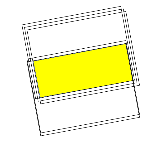
Could it be that this is the minimum intersecting area of all selected products along this track?
StaMPS only evaluates pixels which are covered by all scenes.
pardon me, i couldnt quiet understand the question,
i am not subsetting the images and i checked the raw images one -by-one and it gives some exact covered area
even if you use images from the same track, they can be shifted along-track. Only the area covered by all images can be coregistered and converted into an interferogram