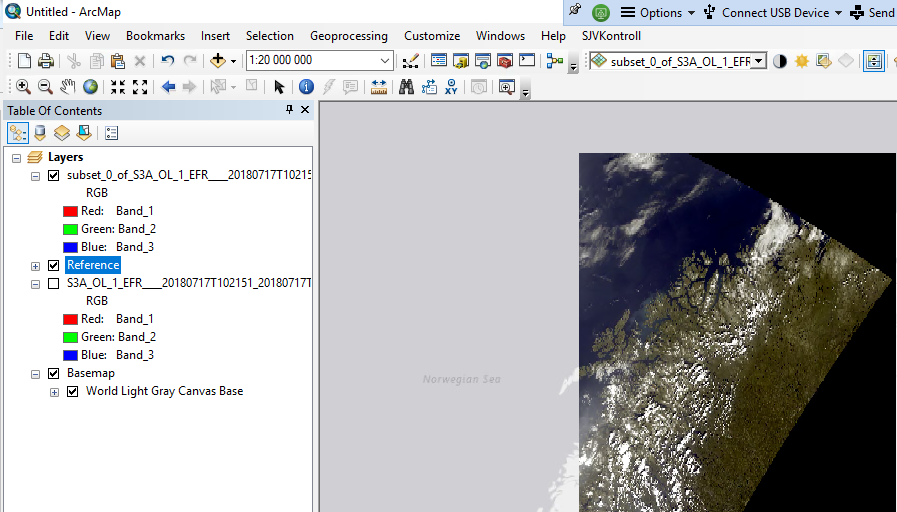
Ok, things look much better when reprojecting the S3-OLCI data to ‘Geographical Lat/Lon (WGS84)’:
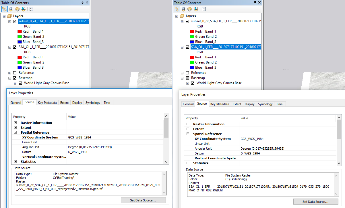
I still do not really understand, though, what is going on, why the original does not fit. Particularly confusing that both, original and reprojected dataset, have the same spatial reference attached to it according to ArcMap (left is the reprojected (sub)set, right the original direct geotiff export) :