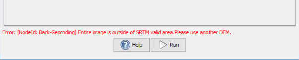
I just tested you data. As you reported, one issue was related to the SRTM coverage. It is displayed as an error message in the GUI (probably not in the graph).
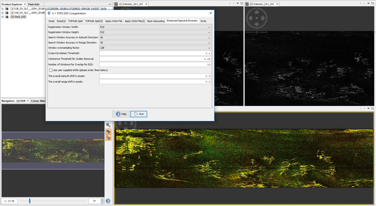
I also cannot coregister the images, probably the ice has not enough features for a proper coregistration.
Then I used the TOPS Coregistration with ESD and it worked:
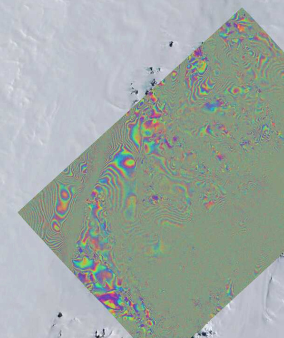
@ABraun I downloaded a External Dem from CryoSat Operational Monitoring of resolution 1km and used it in the BackGeocoding Step. Now it works perfectly fine. Thank you.