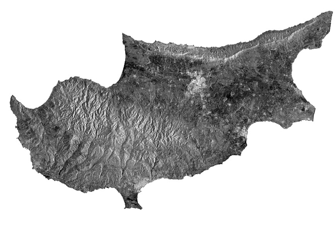
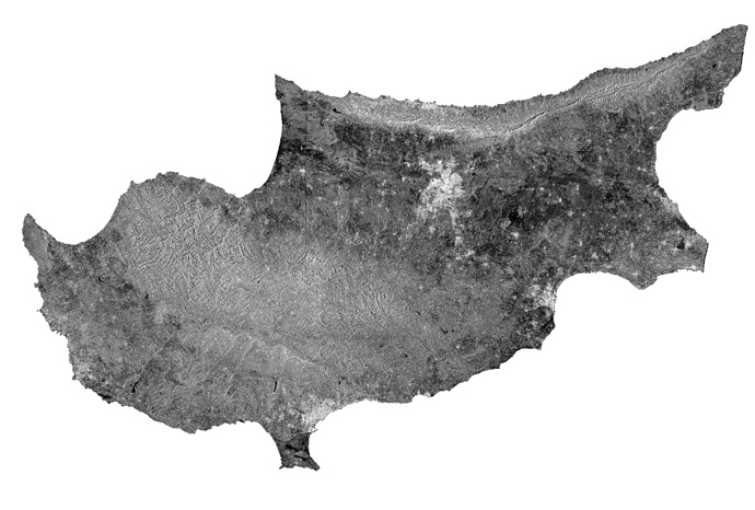
if you mean the radiometric distortions caused by topograpy, you first have to calibrate to Beta0 and then apply the Terrain Flattening module.
Please have a look here:
GRD > Calibrate to S0 > RD Terrain Correction:
GRD > Calibrate to B0 > Terrain Flattening > RD Terrain Correction:

