Hi ABraun,
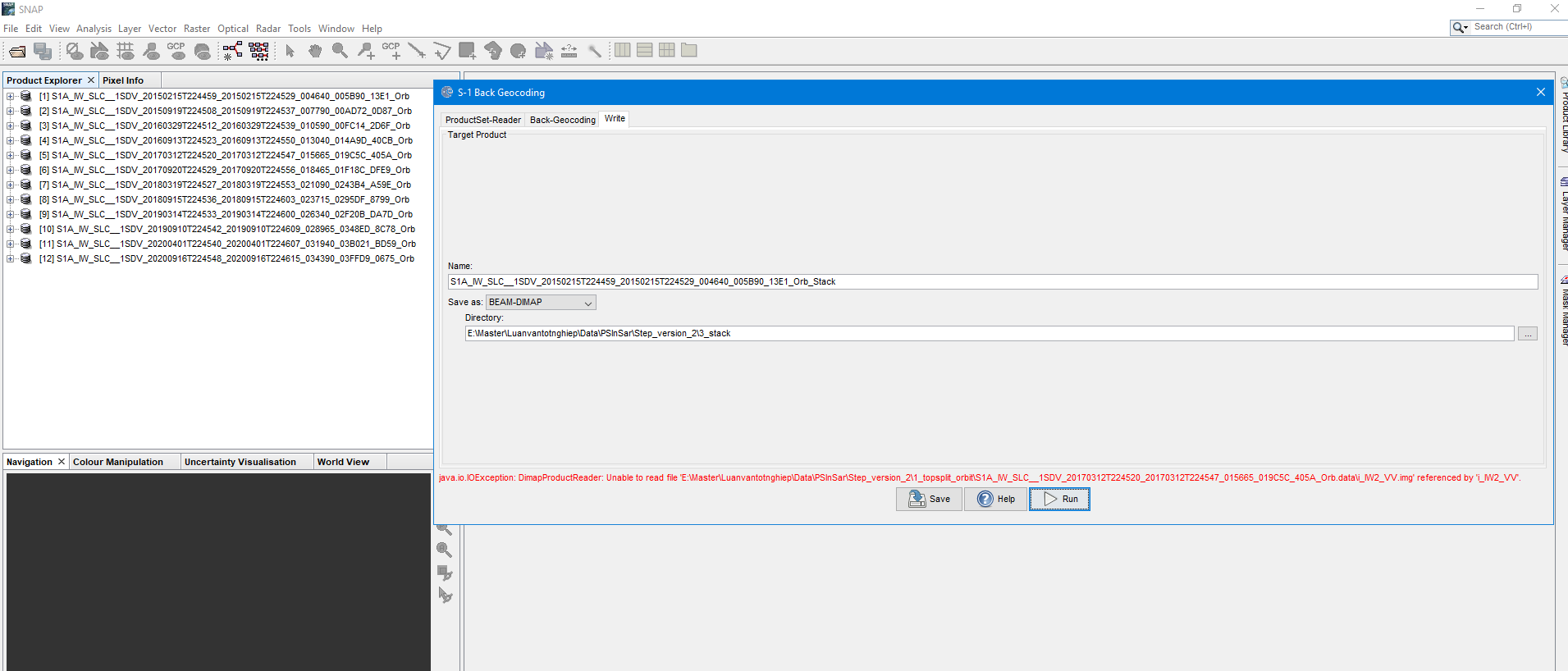
Thank for reply. I tried switch to SRTM 1Sec HGT (AutoDownload), but it was erro: Java.io.IOException: DimapProductReader: Unable to read file “…”. I am researching to Land subsidence in Mekong Delta in VietNam.
Tan Loi
I tried runing each photo individually, Only erro date: 12/03/2017, 20/09/2017; 14/03/2019.
I don’t know something happen, can you help me?
Thanks.
Tan Loi
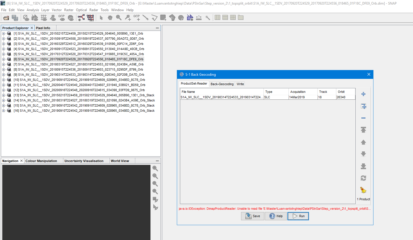
Single products as inputs don’t make much sense, you need at least two products.
I can’t tell why some dates fail, do the others work? Have you checked the result of those who worked with an RGB image?
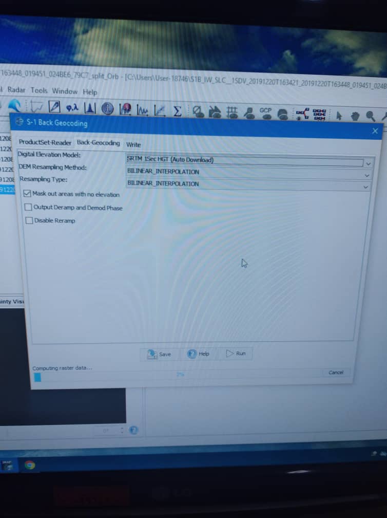
Hi everyone, back geocoding takes how long normally. I’m at 1% almost 40 min. I only have three bursts. I’ve done 30 minutes with SRTM 3sec ( Auto Download). I’ve changed to SRTM 1sec HGT (Auto Download). Thank you
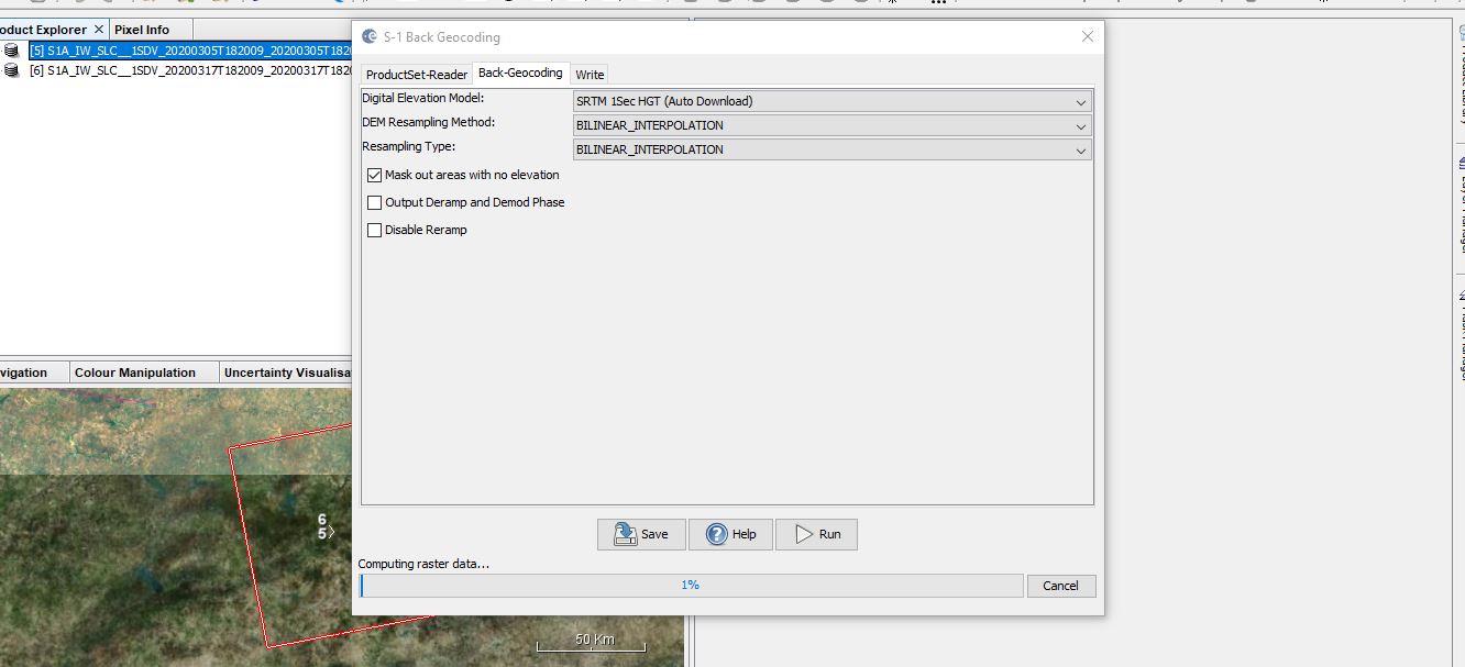
please delete the downloaded DEMs in the aux folder and run again with SRTM 1Sec.
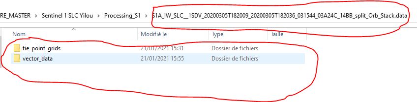
I have deleted and start. it tells me that it exists in the chosen folder. but not in product explorer. photo in pj
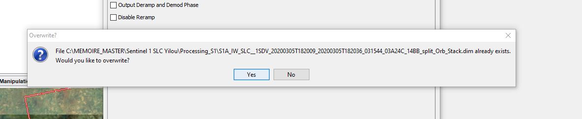
no image data has been written, you can select “Yes” to overwrite the product.
Thanks ABraun. I have finished
TLoi
I have the same error, I have tried to reduce the number of bursts and change the DEM but the warning doesn’t disappear. I tried a different image pair and no error popped up
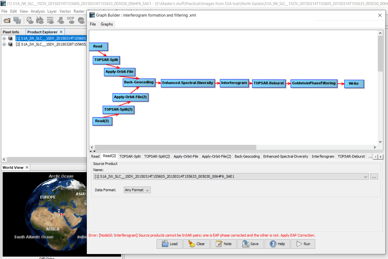
as stated in the error message, one image needs EAP correction.
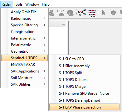
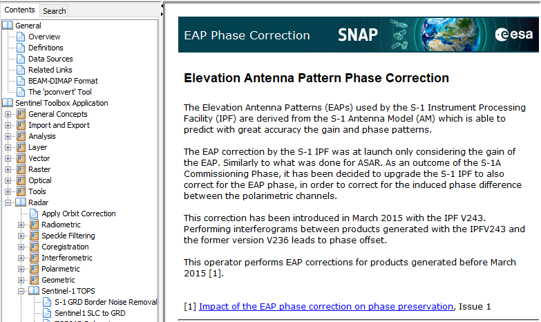
Yes, but how can I perform the EAP correction? I never came across this issue before
Hi ABraun,
Thanks for your good explanation.
I also have this problem and I chose the option “SRTM 1Sec HGT (Auto Download)”. How should I solve this now?
Please see this FAQ entry: A process related to digital elevation models is taking forever to finish
Especially the point about the deletion of corrupt files could help.
Hello @ABraun When I run back geocoding, the DEM I selected is SRTM 1Sec HGT , but when I check Abstracted_Metadat, it seems that the DEM is not there, is this normal?
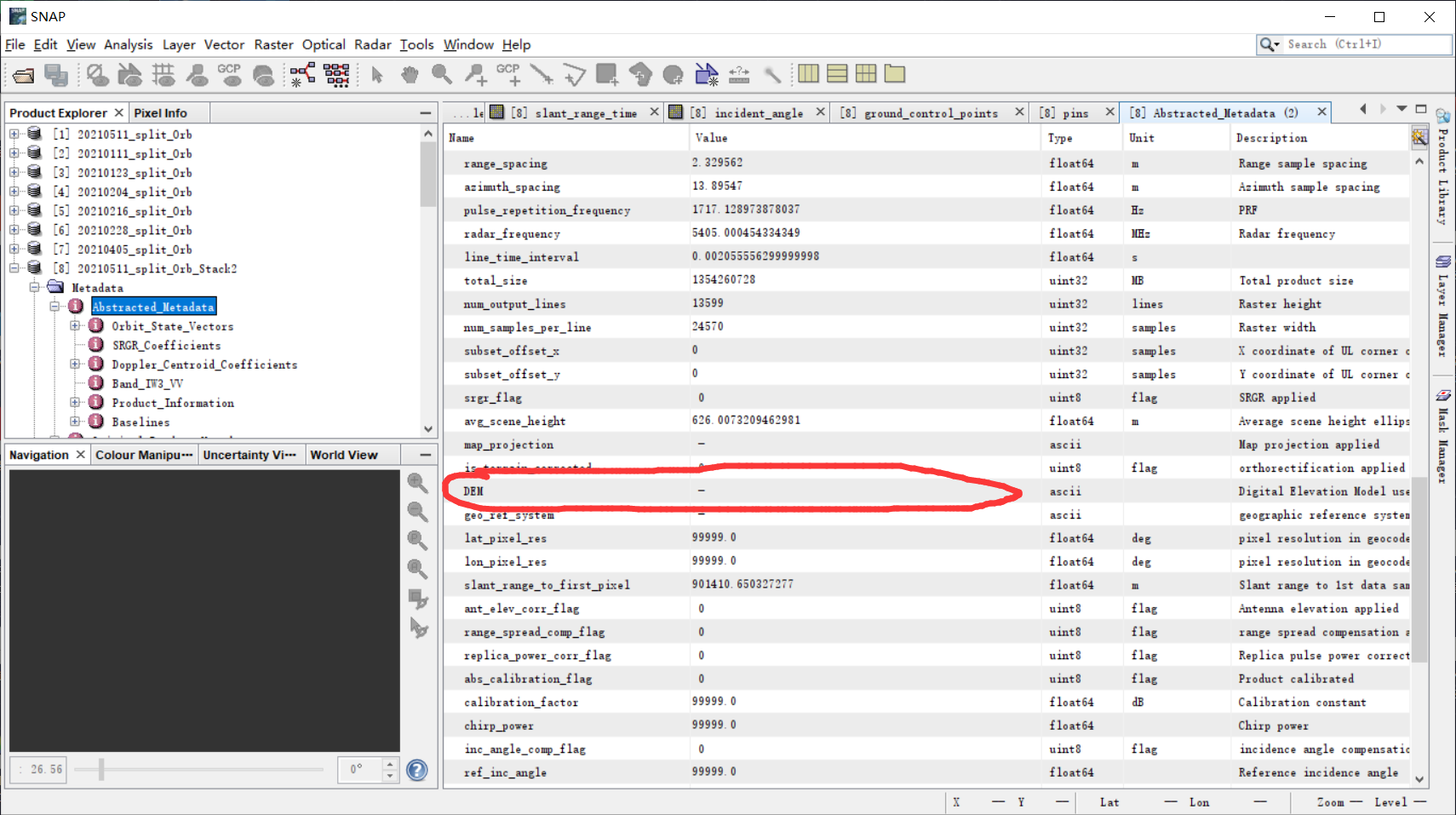
yes, I’d say so. It is used for the task, but not physically added to the product. You could later on add it via right click > Add Elevation Band