Sentinel-1A SLC to GRD Product for flood inundation_Please review the steps

Dear All, I am looking for Sentinel1A radar images on Alaska Facility Web domain and I found some dates that have ready-processed GRD products. For some other dates, the only available product are SLC. Could you please review the steps below to convert from IW-SLC to IW-GRD then from IW-GRD to flood inundation.

From Sentinel1A IW-SLC to IW-GRD for Flood inundation:

1- Here is the steps for conversion from SLC to GRD

Thermal Noise Removal - Radiometric Calibration – TOPSAR Debrust – Multilook – Speckle Filter – Geometric (Slant range to ground range)

The thermal noise removal and calibration can be exchanged

Multilook step could be removed

2- From GRD to flood inundation

Radiometric Calibration – Speckle Filter – Geometric Correction (Range Doppler) – Thresholding – Binarization

My questions:

It is clear that the Radiometric calibration step is repeated in 1 and 2, is that OK to repeat it or just to keep it in 1.

Speckle Filter is repeated in 1 and 2, however I have read before that it OK to repeat the filter to achieve better results.

For the Geometric correction step (Slant range to ground range coefficients) in No 1, could you please suggest best polynomial degree and interpolation method based on your experience. Personally I would go with lower polynomial degree (2) and cubic interpolation. I do believe also that there were polynomials with 5 coefficients in S1 products.

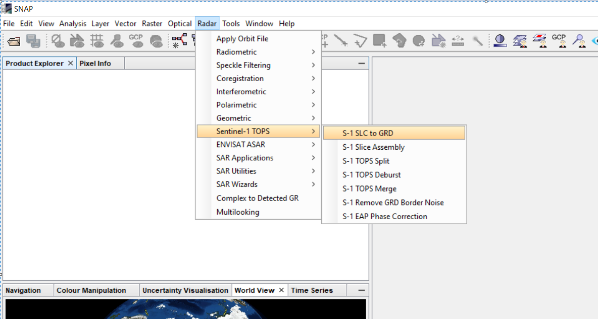
I’d like to start with this one, convert SLC to GRD, I explained in the following posts,

Source of the post

Concerning your first demand,

Flood inundation is discussed in this thread,

Source of the thread

In general I suggest to you read many articles and then start searching this forum, it has a lot of discussions, please use the help of SNAP, and google the process you wants to apply according to your goal and method, there area a plenty of videos and tutorial.

Not sure about the Alaska Facility but if you go to the https://scihub.copernicus.eu/ you should have the GRD products as well

Thank you very much Magdalena. I believe that Alaska Facility and Copernicus hub have the same data.

Thank you Falah. It could be great if you refer for some videos and tutorial.

There was an event organized by ESA in 2018 named Mapping water bodies from space 2nd conference presentations are here - http://mwbs2018.esa.int/agenda/
I hope it will provide you some ideas.

Thank you very much Hristo.

@GEOMM You are welcome. I hope it will be of use.

This tutorial could be good start for you,

FLOOD MONITORING WITH SENTINEL-1 USING S-1 TOOLBOX - JANUARY 2015, MALAWI

Source : https://rus-copernicus.eu/portal/wp-content/uploads/library/education/training/HAZA01_FloodMapping_Malawi_Tutorial.pdf

you could also watch the video of the same tutorial,

Source : https://www.youtube.com/watch?v=ux4tx87ux94

1 Like

Thank you very much Falah, really appreciated.

Thanks! i have an error in the “Slant range to ground range” step. do you know how to deal with that?
Details:
File name: S1A_IW_SLC__1SDV_20210328T111633_20210328T111700_037198_046176_52FB

Error describe:
a problem occurred during the target product processing.
Type: OperatorException.
Message: java.lang.ArrayIndexOutOfBoundsException.