In my case as below, what is going on, why the polygon as wkt couldn’t be updated, I want to subset GRDH
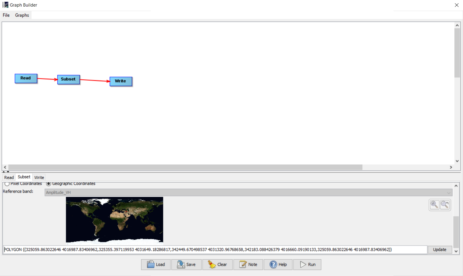
You are not using geographic coordinates (UTM probably). It should work if you switch to WGS84 (EPSG:4326)
1 Like
Yes, it should be geographic coordinates, but hopefully in the future update, could be accepted both.
In my case I have pair of corner coordinates, one from the upper left hand and the other from the bottom right hand. How do the convert these to the WKT format? I guess this website,
https://arthur-e.github.io/Wicket/sandbox-gmaps3.html
doesn’t have the provision to precisely adjust to a given values of corner coordinates.
if you have two latitudes and two longitudes you can create the polygon string yourself following the WKT definition rules: https://en.wikipedia.org/wiki/Well-known_text_representation_of_geometry
1 Like