Thanks again. Performing the Topographic Phase Removal is likely what has been causing me issues.
I will also provide my processing steps below as they may help others:
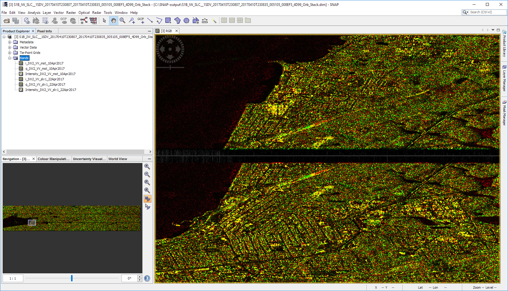
1. S1 TOPS Coregistration
(Only IW2 swath, Bursts 1-3, VV band only)
Output RGB image (RGB: Intensity Apr 10, Intensity Apr 22, N/a):
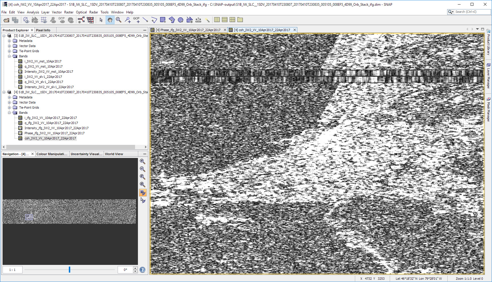
2. Interferogram Formation
(Default options used)
Phase image:

Coherence image:
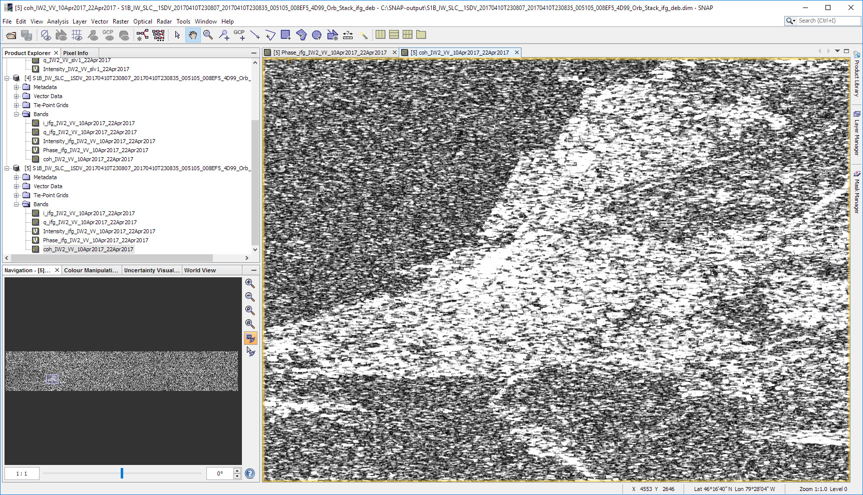
3. S1 TOPS Deburst
(Default options used)
Phase image:

Coherence image:
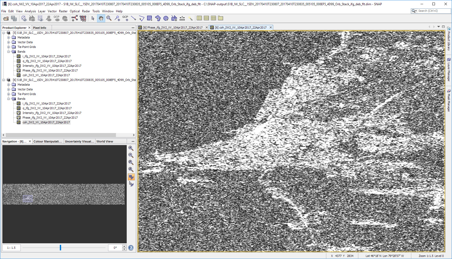
4. Goldstein Phase Filtering
(Default options used)
Phase image:

Coherence image:
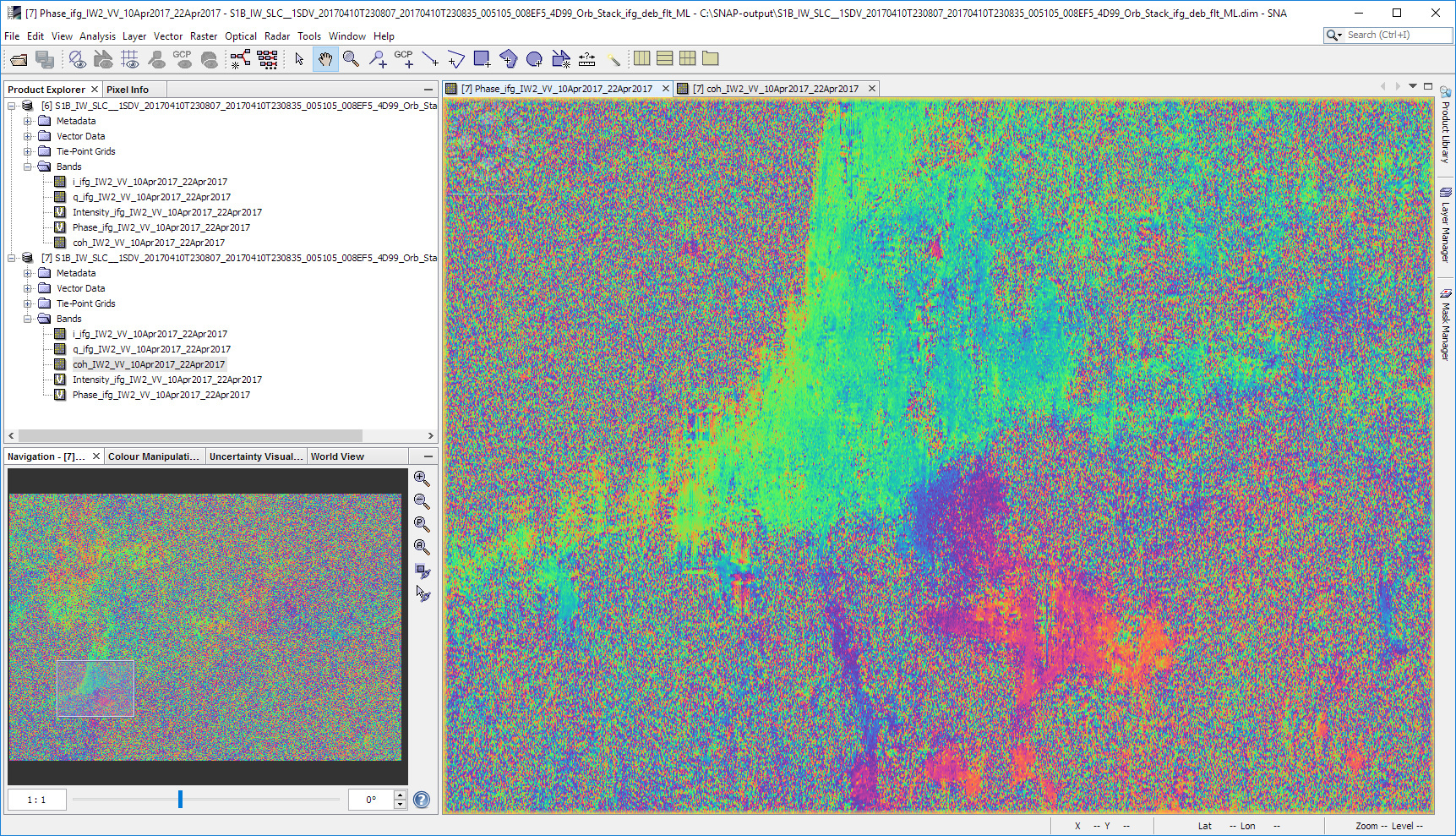
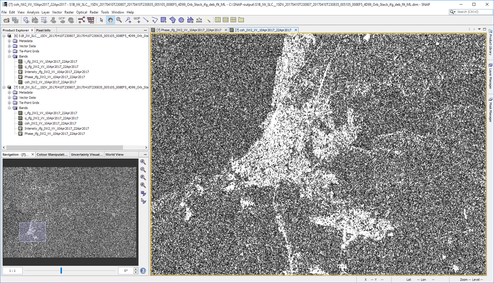
5. Multilooking
(Default options used)
Phase image:
Coherence image:
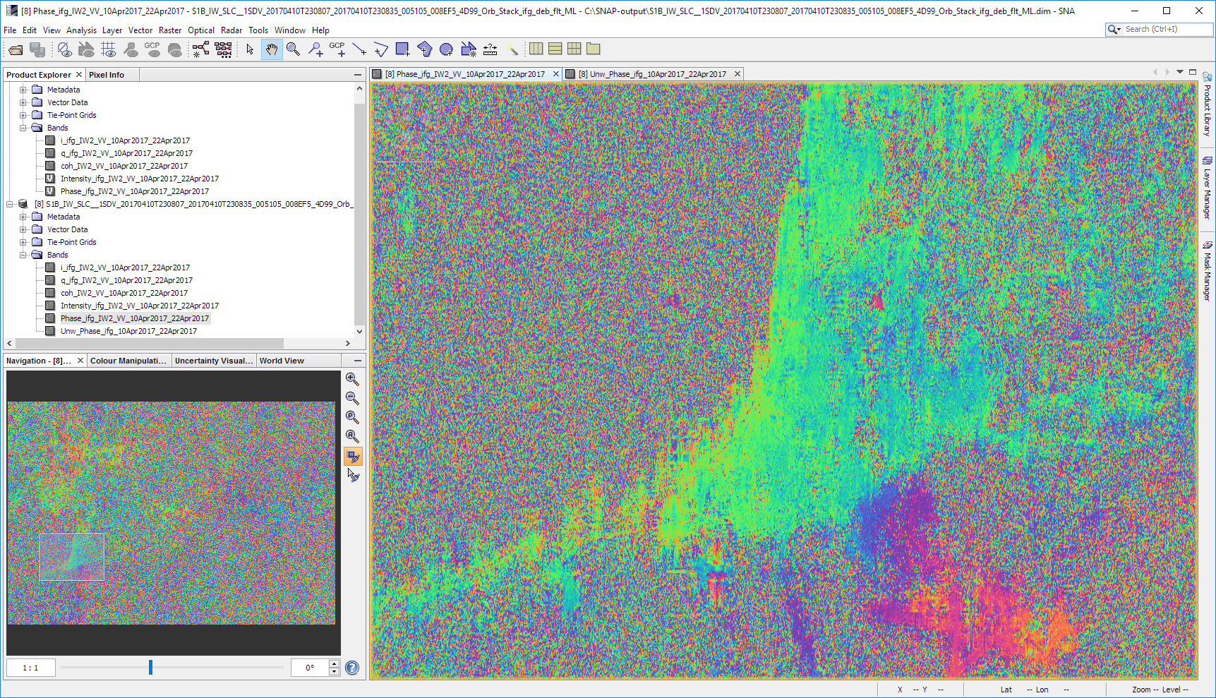
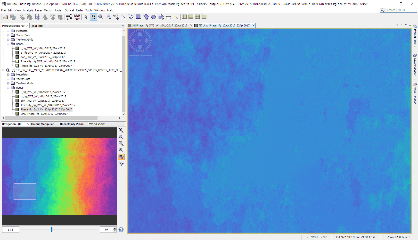
6. Snaphu Export, unwap and import
(8 processors, 20x20 row and colums, MCF, TOPO)
Phase image:
Unwrapped phase image:
7. Phase to Elevation
Elevation image:

The resulting elevation looks really wacky but I suspect this is simply due to very low coherence between the two images.
Here’s the coherence image for comparison:
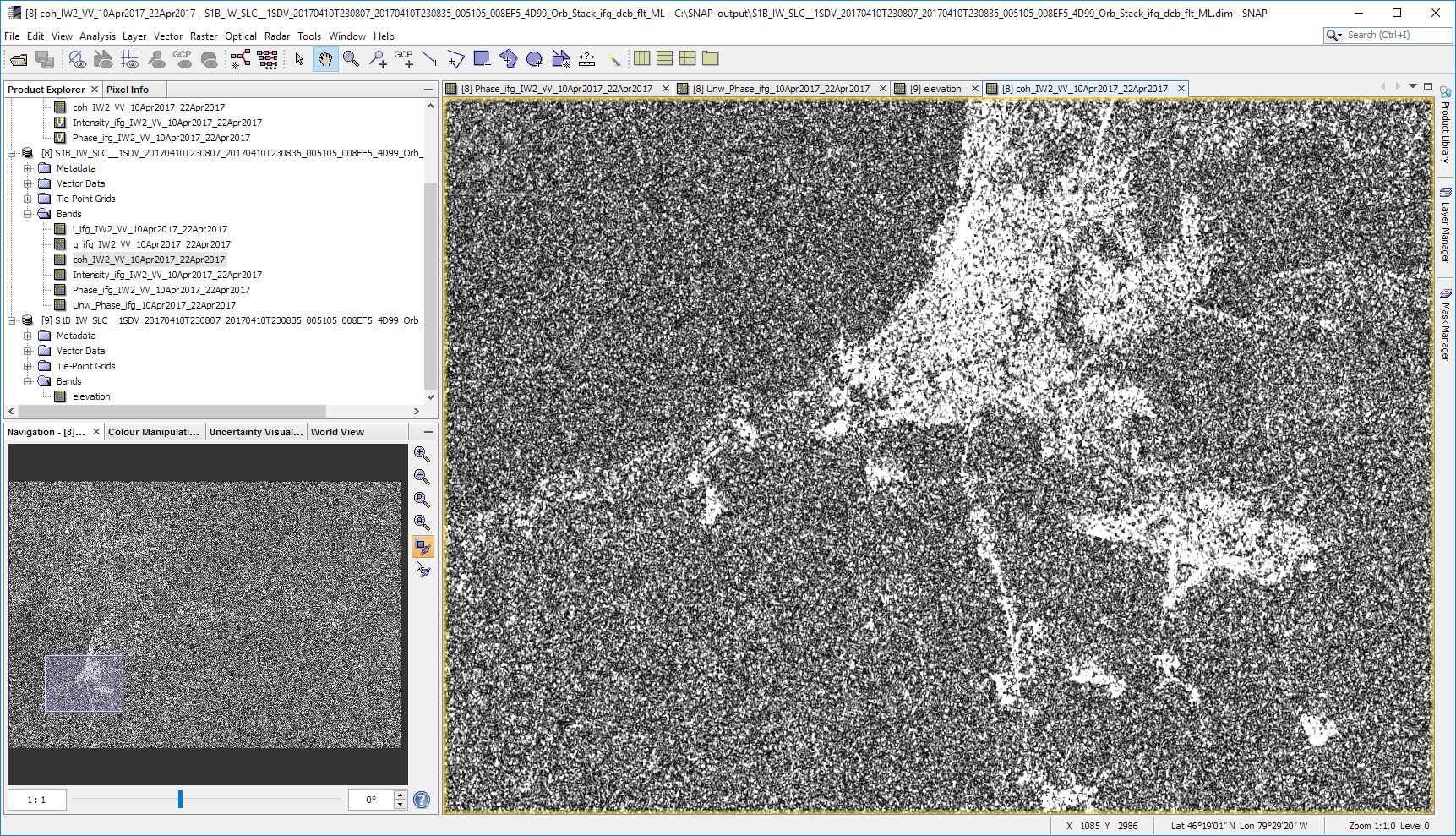
The low coherence areas have very wacky elevation as we would expect.
Here is a histogram of the coherence showing that generally the values are quite low.
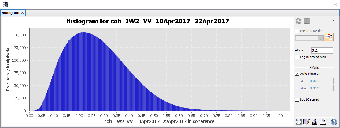
My study site is located in Canada and the images were acquired in April. My hunch is that the snow cover at that time is what is causing the low coherence. This is probably further exacerbated by the forest cover in much of the area. I will look into using some images from a difference season to compare results.