This is still an issue.
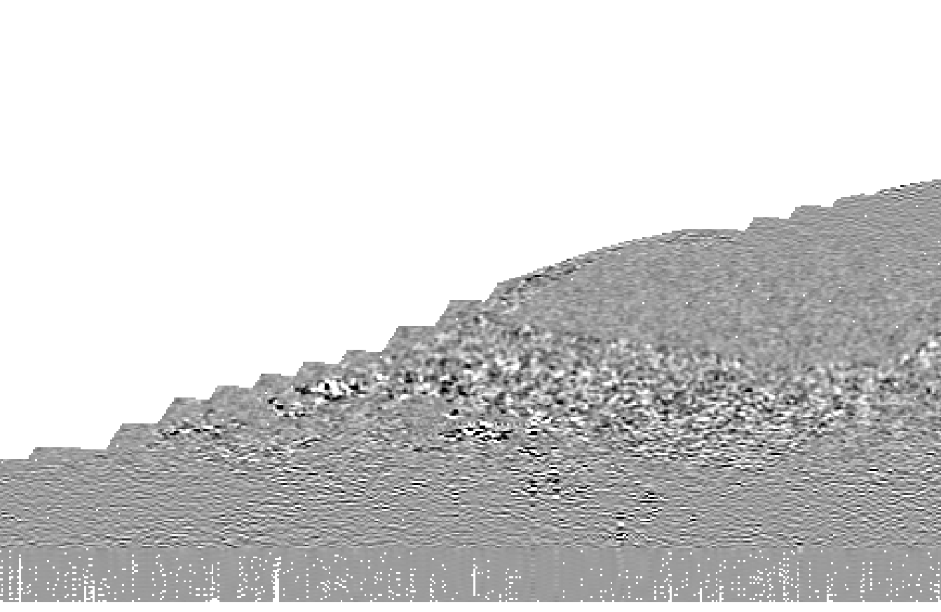
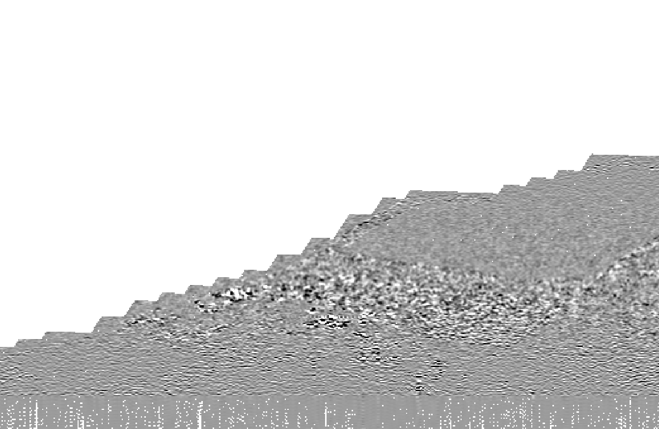
Here is a visualization of the bug, I created three images of a dataset with coastal are being masked out after coregistration. Images 1&2 are from I band, but with different tile sizes.
- tile size 128
- tile size 512
- band math of image 1 - image 2.
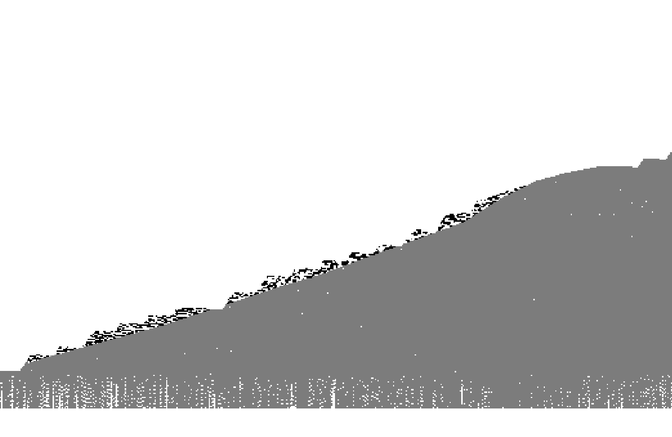
Visually the difference can be seen that some areas are masked out, however upon closer inspection by the band math image, it can be seen that it is just not a question of masking out, as some coastal areas also have different pixel values. I have not seen a dataset with coastal areas where this does not apply, but these particular images were done with:
S1B_IW_SLC__1SDV_20210721T055001_20210721T055028_027888_0353E2_E1B5
S1B_IW_SLC__1SDV_20210615T054959_20210615T055026_027363_0344A0_83FE