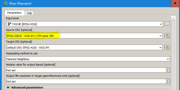
no matter what QGIS thinks about the projection of the data (it assumes WGS84 after loading, but it is not), you have to select the correct UTM zone in the reprojection module (here it is 35N) as the source CRS and WGS84 as the target reference system.
