Hi everone,
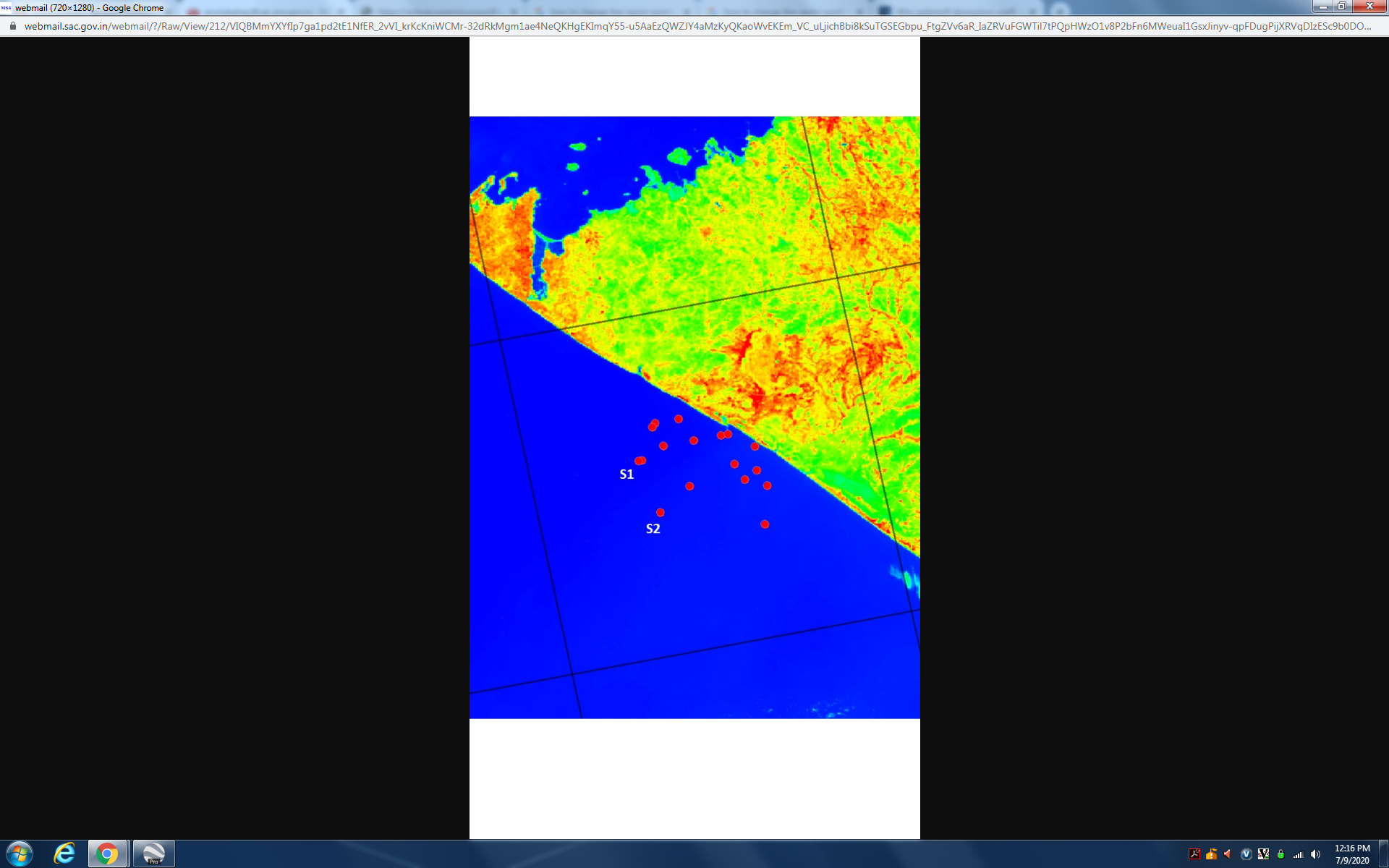
I have imported some point vectors (my station locations, see displayed map) in an image and I want to display station names as S1, S2 etc. in the map, as shown by white colored text. Can I display station names. I have made the vector data with attributes S1, S2 as 3rd field (1st and 2nd fields are long, lat )
If they are points, you could open them with the Pin Manager. It allows to change the pins properties (colours, names) manually.
Thanks. Could do it with pin manger.