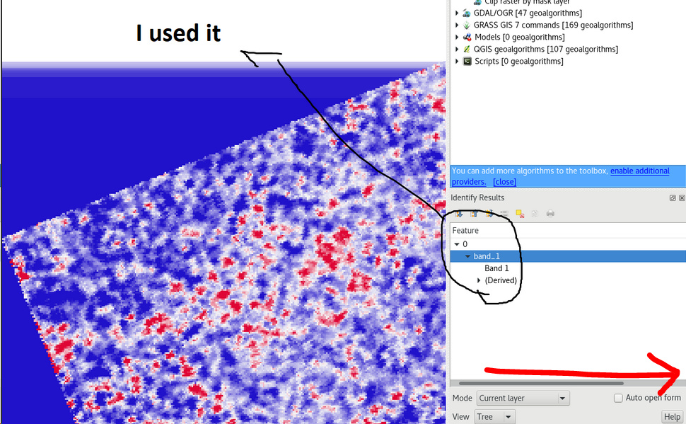
to see the actual value you have to scroll towards the right.
Min/Max in the raster properties do not matter, they are not the actual smallest values. As you selected “cumulative count cut”, these are 2% afar from the smallest and largest values in order to enhance the contrasts.