Hi @ABraun
i made a DEM in SNAP and convert it to GeoTIFF format . i intend to use this file in ArcMap. based on fig below, how to remove black borders (No data value) from this DEM?
Thanks you

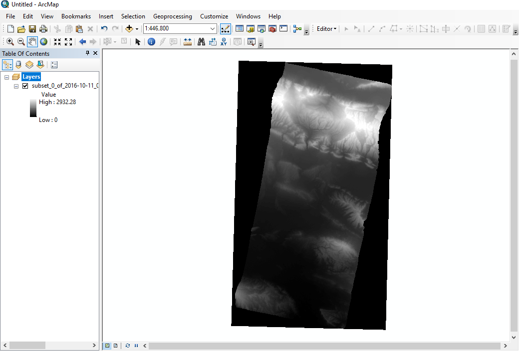
Hi @ABraun
i made a DEM in SNAP and convert it to GeoTIFF format . i intend to use this file in ArcMap. based on fig below, how to remove black borders (No data value) from this DEM?