I’m new to Sentinel data, so I hope my question’s not too naive!
I want to compare Sentinel-2 pixel reflectance between passes, in order to identify particular vegetation types. However I’ve noticed when comparing imagery between passes that the whole image is sometimes shifted geographically in one direction. Sometimes these shifts are up to 20m: this means that the same pixel of a granule doesn’t refer to exactly the same geographical location between passes, for 10m-resolution bands, and so isn’t comparable between passes.
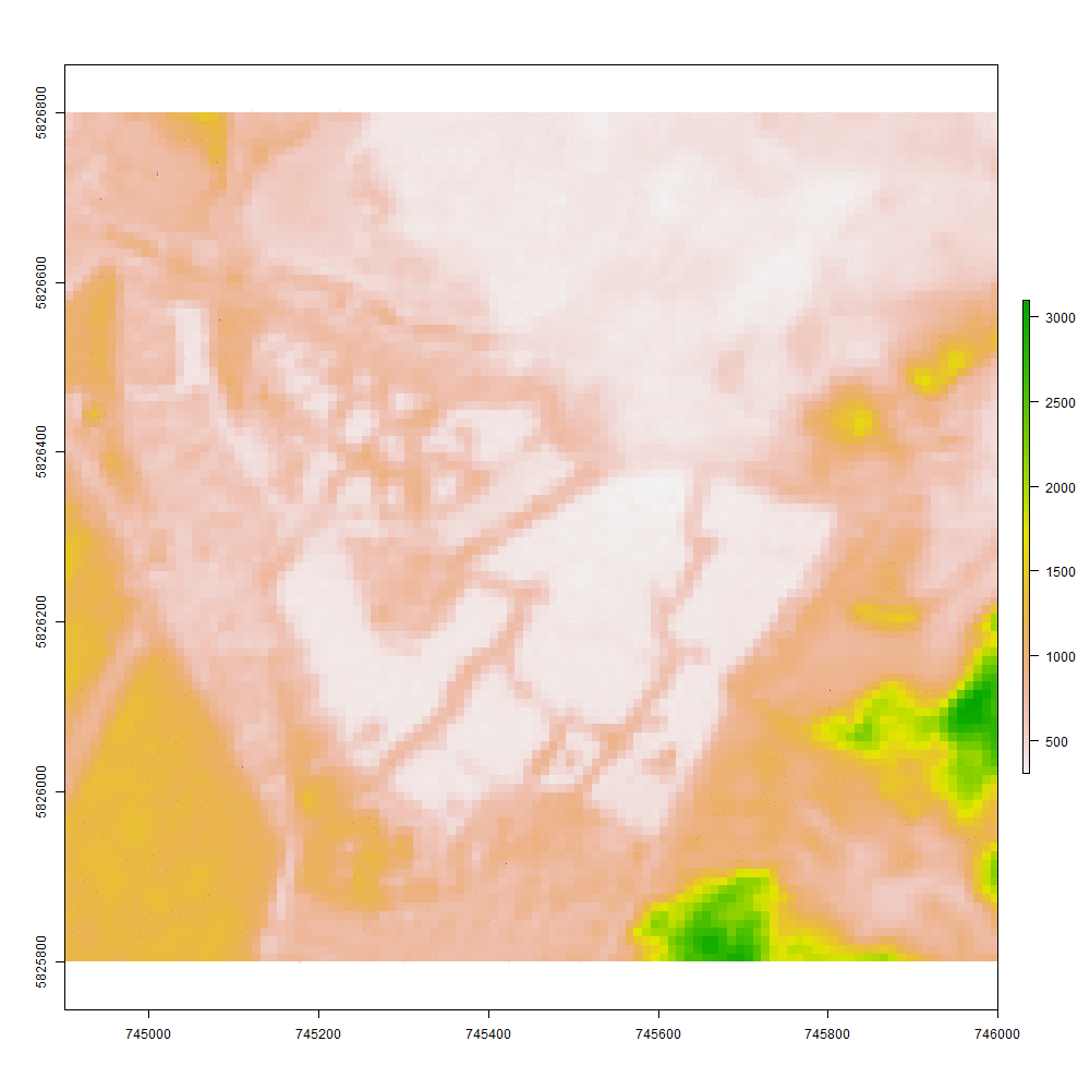
E.g., imagery at a zoomed in site of interest…
S2A_OPER_MSI_L1C_TL_SGS__20160325T183206_A003952_T30UYD_N02.01
S2A_OPER_MSI_L1C_TL_SGS__20160606T150040_A004996_T30UYD_N02.02
S2A_OPER_MSI_L1C_TL_SGS__20160812T144946_A005954_T30UYD_N02.04
…are all georeferenced slightly differently (see animation).
Is this normal? The distances involved (e.g. 21m from first image to second image) seem extreme, compared to the measured performance of the product (https://sentinels.copernicus.eu/web/sentinel/missions/sentinel-2/data-quality-report). However, I tried this on another nearby tile and found similar movements between passes. Is there a way I can deal with this please?
It seems that the 3 products belong to 3 different baselines (02.01, 02.02, 02.04, I can read at the end of the filename). This can be the cause for misregistration, since each new baseline improve among other the geometric coregistration.
When the older products will be reprocessed using the last baseline (02.04) you should be able to see no misregistration problems.
The problem persist and make a lot of useful algorithms and less powerful. I recently made a samall investigation of 2.06 data and the missalignment are up to 20 meters still and well above 10 meters even with same orbitnumber and same space craft. Is there any one that has made a good development to get sub meter accuracy on Sentinel data.
Thanks for the advertising , but regarding geometry, we fully rely on ESA L1C processing.
@TobiasEdman is right to complain about the registration errors, and it is a pity Sentinel-2 multi-temporal registration performances requirements are still not met after 3 years in orbit.
An ortho-rectification with ground control points is necessary, and methods to do it have been specified by my colleagues at CNES, and developed by the industry. From what I know, there is still a computer performance issue when applying it to the huge volume of Sentinel-2 data. I am pretty sure the teams are working hard on it, but there no more announcement of the start of operation in the most recent mission status reports
oh, i thought i had seen some examples of images with geo-improvements over the ESA standard ones on the Cesbio blog. maybe I mix that up… or was that more of a test project, something non-operational?
@TobiasEdman: Also, as far as I know, Metria AB (you know them rather well, I assume) does additional geocorrection at least on selected scenes and based on software provided by Spacemetrics. Within Metria’s MATS system they maybe even do something operational, but I’m not sure about this - I only remember surely that the colleague also complained about the “wiggling” data, which pose, well, “challenges” at time series analysis.
CNES made a prototype of L1C processor (GPP), used to define the method precisely, before developing the operational processor. So perhaps you saw an output of this. But our role is not produce L1C.
 , but regarding geometry, we fully rely on ESA L1C processing.