I am searching for documentation regarding fractional Land/water mask operator. I was not able to find how it works. Thanks in advance for your support.
It is briefly described in the help.
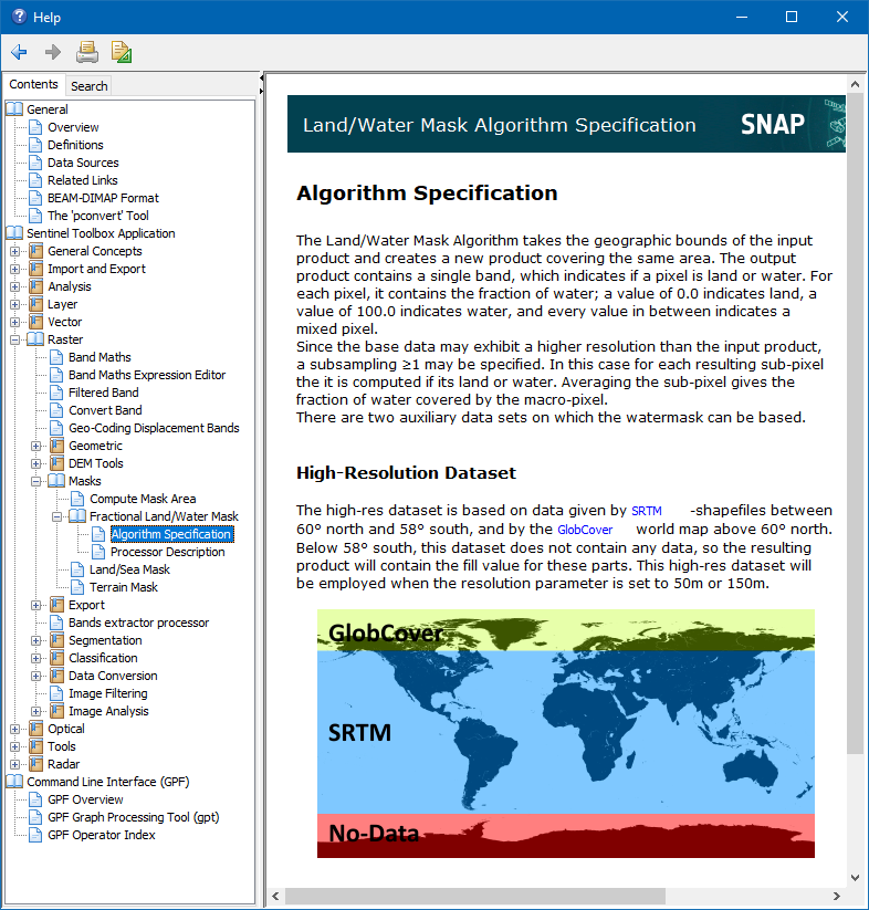
The pixel is split in sub-pixels by the two factors. For each it is tested if it is overland or water.
If you split one pixel into 4 sub-pixel you can get one of the following values as result: 0, 25, 50, 75, 100
This represents the percentage of water fraction.
As the underlying water/land mask has a maximum resolution of 50m the operation is better used for medium resolution data. For high resolution it is not very accurate.
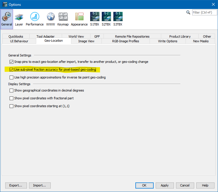
If your data uses pixel-based geo-coding then you also need to enable