Hi,everybody.
I don’t know why the sentinel 1 data after applying Orbit File is void, that is the data’s intensity valueis all 0.
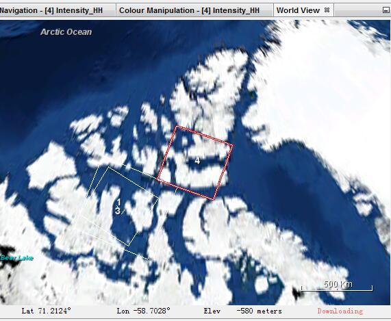
The latitude of image is about 75 degree of north.The below picture is the position of the image in world view.
I want to know the reason for the problem.Is it the latitude too high?
In case you already applied Terrain Correction, no SRTM is found for latitudes over 60° N. This results in errors or empty data but orbit files should be applied independent from location.
was the image taken in the last 20 days? Precise orbit files are only available at a few weeks later. I haven’t heard of a case where this caused empty data (usually an error pops up “no orbit file found”) but this could be an error.
Or do you apply manually downloaded restituted orbit files?
Sorry, I have got the exact answer,because I didn’t refresh the window. Sorry to waste your valuable time.
However,the data I just used is June 1st,2017.I don’t know why I can apply orbit file successfully.
Hello
My area of interest is a undulating terrain. I have applied the following processing operations on my GRD data:
1)Calibration
2)Speckle filtering
3) Terrain correction
4) Linear to/from db.
My actual concern is that after following these data processing operations, am i getting the exact(accurate) backscatter values for each pixels???
I don’t know your meaning of ‘exact’? The backscatter values after different steps in preprocessing procedure are not same.I think the following reference linking Radiometric & Geometric Correction Workflow would be helpful for you.