Hi, I presumed that SNAP would be able to directly access online spatial data such as Open Street Map (e.g. like QGIS), but I cannot find any tools to do this. Can anyone confirm whether this functionality is supported?
Thanks
Hi, I presumed that SNAP would be able to directly access online spatial data such as Open Street Map (e.g. like QGIS), but I cannot find any tools to do this. Can anyone confirm whether this functionality is supported?
Thanks
Thanks. I found a server:
http://ows.mundialis.de/services/service?
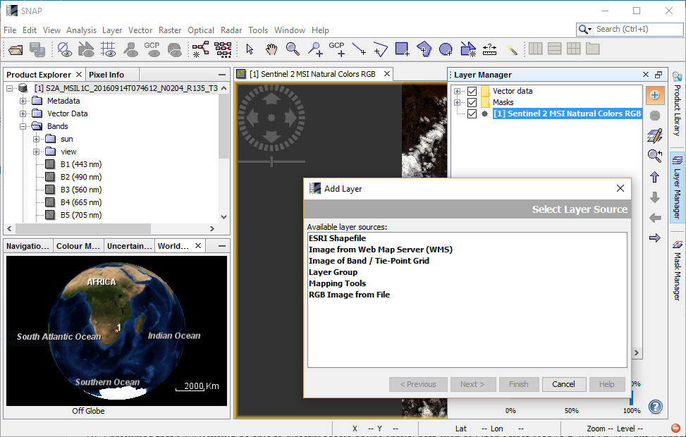
But when I enter into the ‘Add Layer’ dialog, SNAP tells me the coordinate system is unsupported.
Thanks for any advice?
Probably you have to reproject your data to Geographic Lat/Lon before you can use the layer.