Hello,
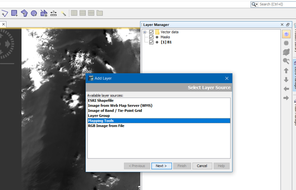
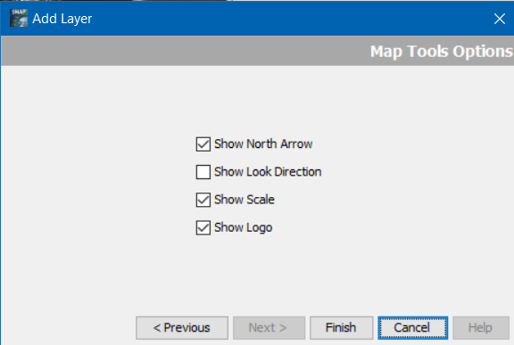
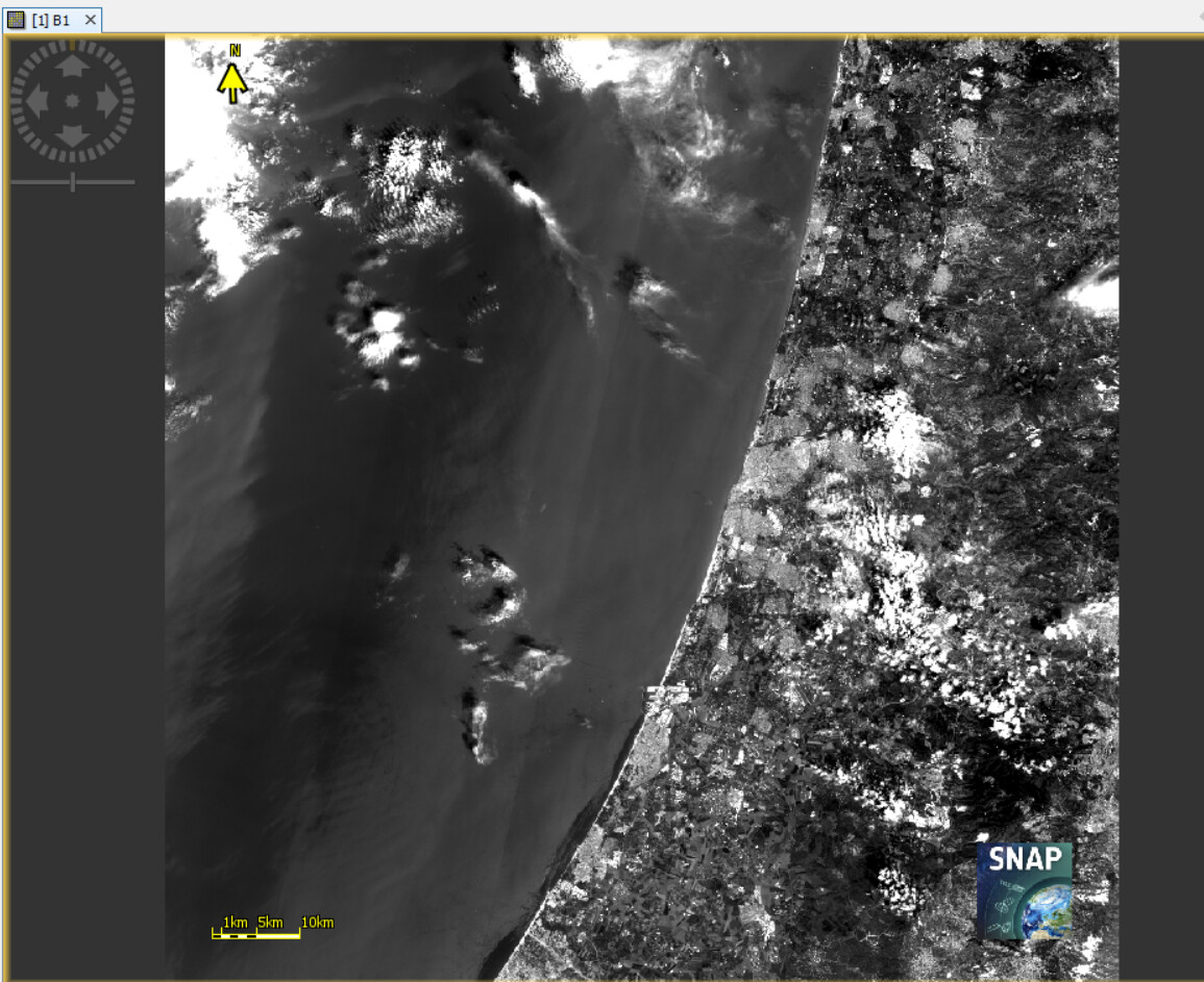
It would be nice to be able to add additional information on the image after using ‘Export View as image’ feature additional features such as (1) North sign direction (2) Scale (3) Image location on the globe (4) Sensor’s name & date and time
I agree that additional metadata would be helpful, but to work for everyone requires conventions like the Climate and Forecast conventions that are commonly used for environmental grid data in NetCDF format. There are current efforts to supply metadata using auxiliary text files. Advantages of this approach include the ability to use the many tools that search and tabulate information from a collection of text files.
Current versions of GDAL support PAM (Persistent Auxiliary Metadata) in .aux.xml files. BEAM DIMAP stores metadata in the .hdr files that accompany the .img files. When working with NetCDF files I find it helpful to run ncdump -h filename.nc > filename.nchdr to capture metadata in text files.
If none of these are appropriate, you can use SNAP snappy python tools to closely match images created in the SNAP GUI in batch processing. It should not be a big problem add the ability to write an accompanying text file with your desired metadata. People in other fields are also attempting to do this so you may be able to steal some useful code fragments.