ALOS 1 PALSAR 1.1 CEOS based INSAR

I have a pair of ALOS 1 PALSAR 1.1 CEOS data. Both have a single band. I tried to generate interferogram using following steps:

  1. Deskewing
  2. Coregistration
  3. Calculate interferogram
  4. SAR Simulation terrain correction

However, the result is perfectly black. Can’t S1TBX do this job?

It which step are the bands empty? It could be a miscoregistration in coregistration or in the sarsim tc.

After the final step, the results are black.

Did you also try Range Doppler Terrain Correction? Maybe there is no correlation found between the simulated SAR image and the interferogram.

During CreateStack substep of the Coregistration process, I used “Orbit” as the initial offset method, is it right?

Should I use same cross-correlation parameters, i.e., window width/height during coregistration and SAR sim TC (Cross-correlation)?

Now the result is not empty in another run, but interferogram does not look good inspite of good coherence.

maybe you can post a screenshot of the coherence and the inferferogram.

@ABraun
hi ABraun,
Please see my coherence and interferogram, let me know what’s wrong went in processing.
Both belongs to the same location.


@lveci

Though the coherence is high, the generated interferogram does not seem OK in my case. I did following steps:

  1. Deskewing: default parameters
  2. Coregistration: Did not apply fine registration, used coarse registration with 512 width/height
  3. Interferogram: default parameters
  4. Sar Simulation TC: default parametrs.

Please guide me if I had to do any other steps, or change the parameters.

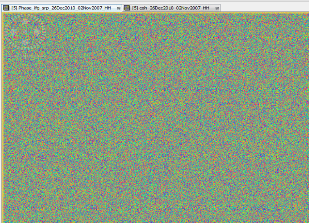
I wonder why the interferogram isn’t colored. Did you open phase_ifg_xyz?
I would also have a look at it before the Terrain Correction (why do you correct it at all if I may ask?)

Maybe fine registration is another option.

I am also not sure if Deskewing is necessary before the interferogram generation. Did you try it once without?

@ABraun
I try again according to you, and let you know the result.
Also upload color screen later.

@ABraun

I tried as you mentioned.

  1. registration without deskewing
  2. interferogram
  3. range doppler terrain correction.

but, the interferogram (attached) does not look sound.

okay, thats not good at all :slight_smile:

What is the date of the two images?
Are they both of the same flight direction? (ascending or descending)

@ABraun

yes both ascending; 2007 and 2010 HH only.
but i got bad ifg also for 2007 and 2008.

@ABraun
by the way, should i use topo phase removal after generating ifg?

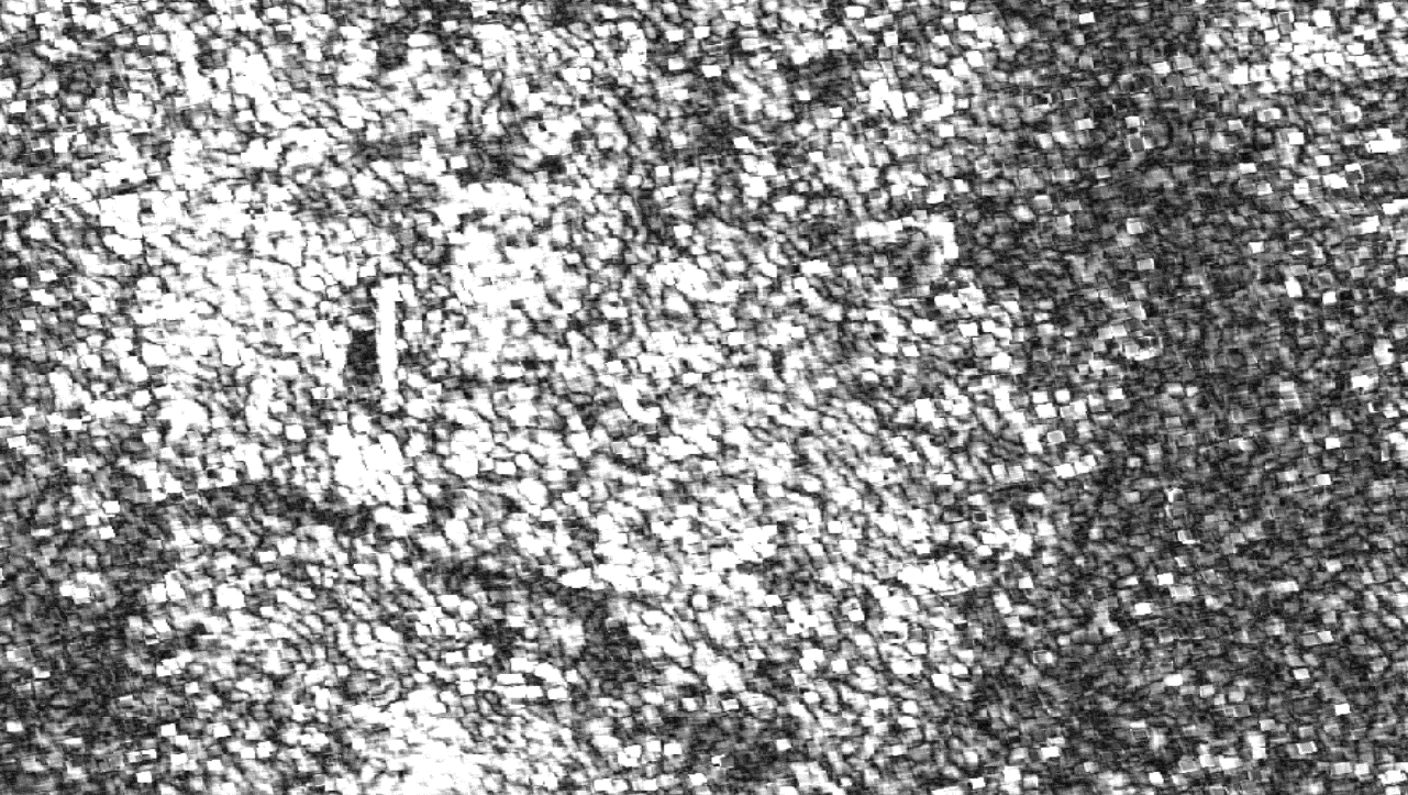
I’m afraid the time between the two images is too long. This leads to temporal decorrelation of the signal and the loss of proper SAR fringes (and low coherence values).

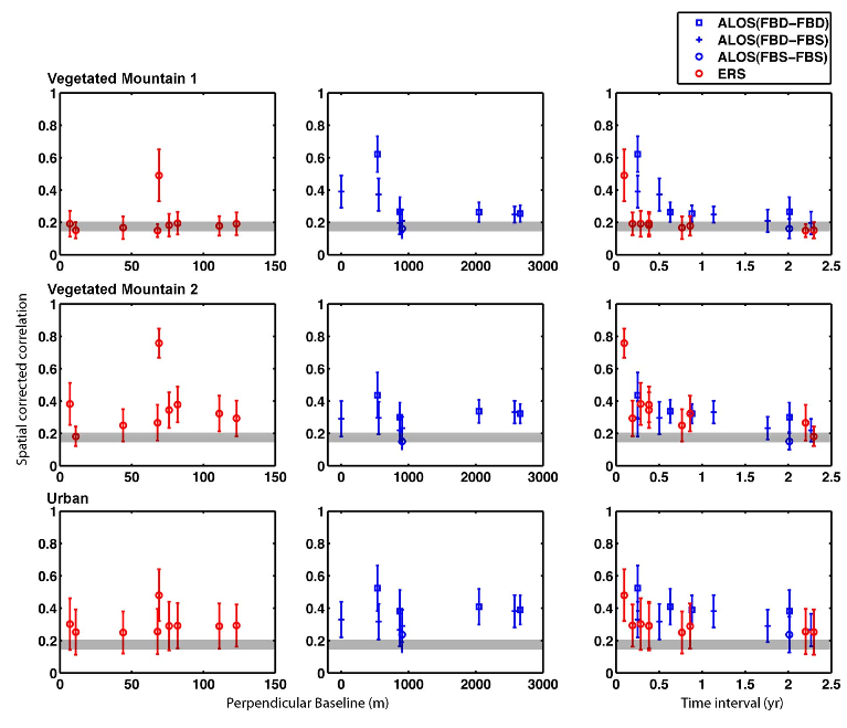
Here you can see the coherence steadily decline over time. As it is a measure for the quality of InSAR your observed patterns seem reasonable. Note the blue coherence values for ALOS in the third column and how they decrease with longer time intervals:

Source:

There’s clearly some coherence over parts of the original coherence image. Urban features, rocky surfaces etc. can stay coherent for years.

1 Like

@mengdahl
yes, there is some coherence, but i could not get good interferogram. Do you have any suggestions for it?

can you show us a histogram of the coherence image?

Hi
The main question is possibility of Alos1 Palsar Insar processing using snap software.
I suggest you that choose a shorter time interval instead of engaging a very long temporal baseline.
In this case very long temporal baseline (about 3 years) may case lose of coherence even about persistent scatterers.
So after selecting a shorter baseline try to check generated interferogram.