I have ALOS PALSAR 2 images of processing Level 1.1 in CEOS format (i.e. Range and single look azimuth compressed data is represented by complex I and Q channels to preserve the magnitude and phase information.Range coordinate is in slant range.). They are StripMap 2 images of width 50km and resolution 3m.
The images are of ASO Volcano in Japan and I wish do do InSAR on them. However, both the images are missing a significant portion in the middle. I do not know if its a coincidence but the same portion is missing in both the images!!! The images are a year apart (2016 05 02 vs 2017 07 10)
The picture given below shows that the actual image and JAXA quicklook version .
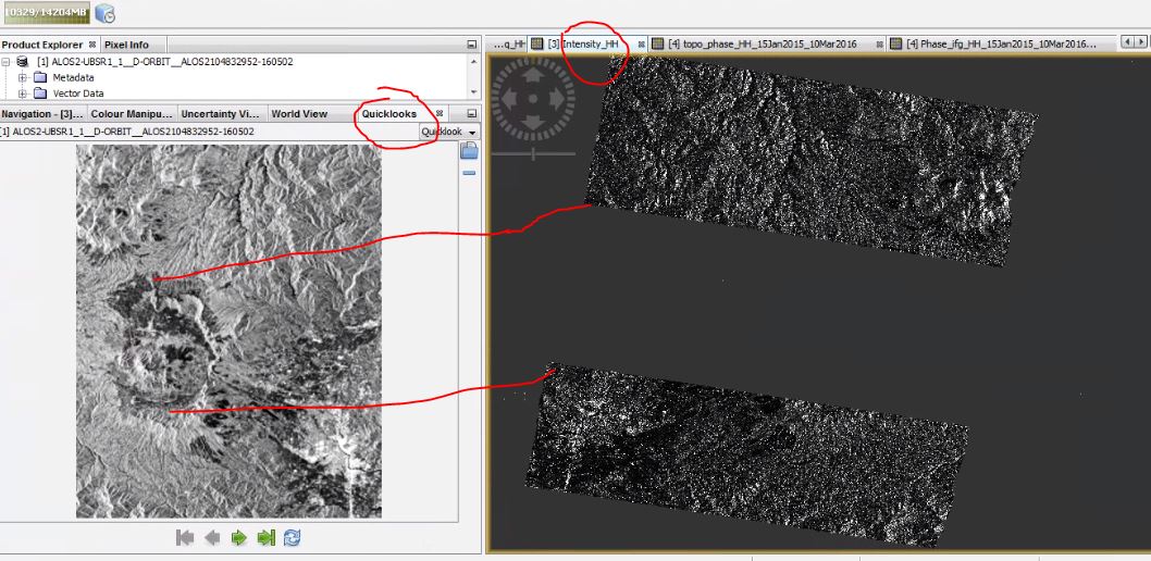
Is the middle portion actually missing or is there anything that I can do???