Not yet a full study, but I found it worth sharing.
I processed quad-pol data of ALOS-2 from May, September, and November 2018 of southern Germany. The spatial resolution is 6 meters, the footprint is 45 x 70 kilometers large.
- Polarimetric Speckle Filtering (LeeSigma filter large window 5, small window 3), output: filtered T matrix
- Pauli decomposition into surface, dihedral and volume scattering for each date.
- Terrain correction and stacking
- RGB composites of each scattering mechanism over the three images
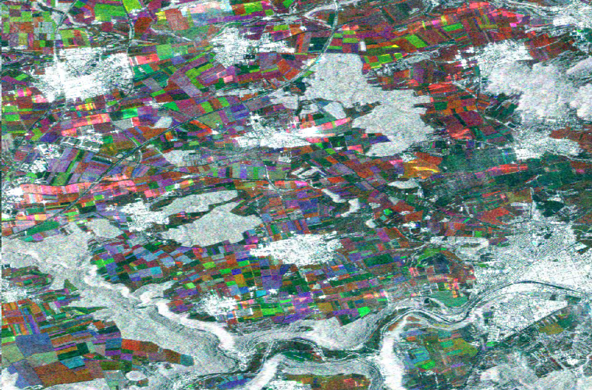
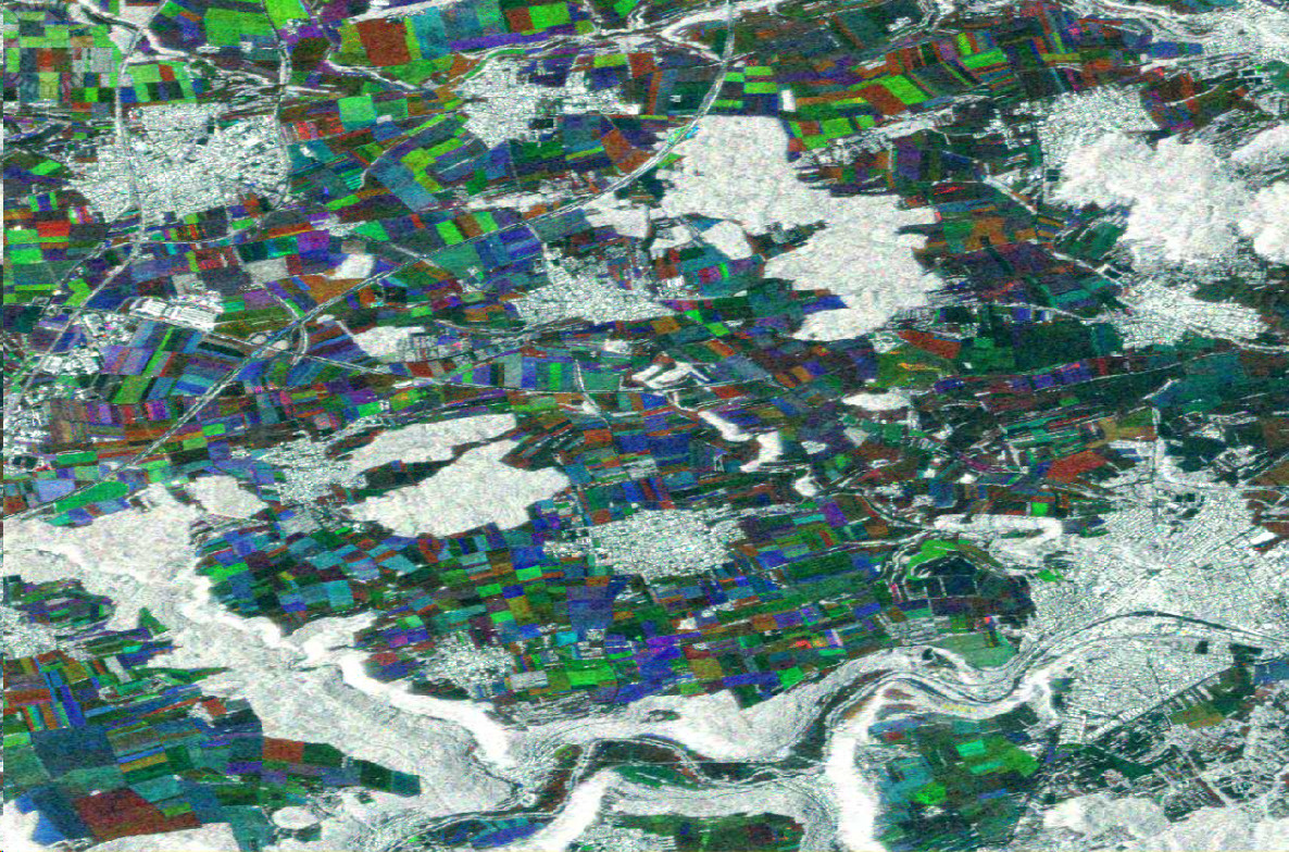
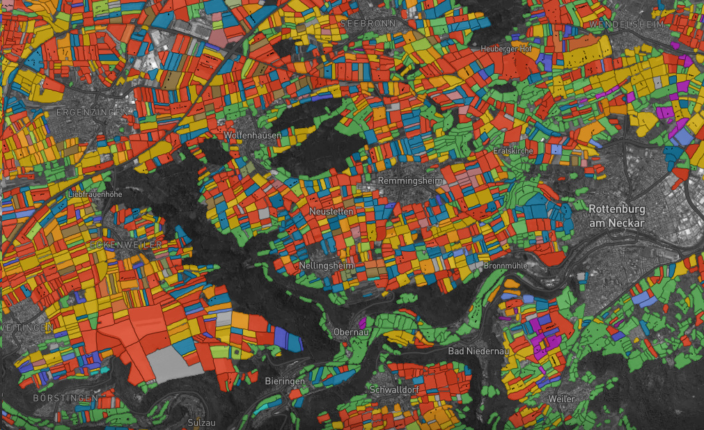
A small extent is shown below (about 2% of the whole image). Note how forests and cities are white because they show no change with respect to their scattering mechanisms during the year.
Surface scattering in May (red), September (green) and November (blue)

Dihedral scattering in May (red), September (green) and November (blue)
Volume scattering in May (red), September (green) and November (blue)
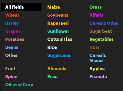
Crop classification 2018 from OneSoil
Source: https://map.onesoil.ai/2018#12.21/48.47103/8.83013
The next steps are to retrieve the temporal polarimetric signatures of each crop type to classify it for the whole image. Unsupervised Clustering is also an option, or maybe a principal component analysis. Of course, I am open to any comments 