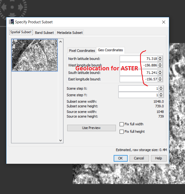
Then, I applied projection over one product from ‘ASTER 1sec GDEM’.
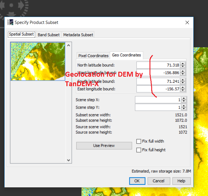
I want to compare (one of the product of 'ASTER 1sec GDEM) with (DEM from TanDEM-X). they are in same geolocation (figure 1 and 2) but pixels are different (figure 3 and 4).
you can use the collocation tool to include both rasters into one product. The first product you select is considered the master and defines the pixel size and the extent of the product. The slave image will be resampled accordingly.
Classical coregistration is more effective for images with certain patterns, for example SAR images in slant geometry. It searches for statistically similar points in both images and creates a model to translate the geometry of the first image into the second.
If your data is already geocoded, “collocation” or “create stack” are the more suitable tools according to my opinion. The first is to match two images and gives you more flexibility to handle output file names while the second one takes multiple inputs. Both are fine for your case.