Best DEM for backgeocoding

hello
I am using single look complex SLC of sentinel 1B, mode Interferometric Wide Swath Mode (IW).

I would like to ask recommendations for the DEM used in back-geocoding.

I used SRTM 1sec HGT, it initiated, reached 4% of the process and stayed there forever.

Thanks in advance

Martha

The duraton of the process mostly depends on the size of the input data. Did you reduce the bursts as much as possible?

Of course SRTM 1Sec is more detailed, but if it takes too long to process it, 3Sec might be worth a try. Is your data located inside the overall SRTM coverage?

yes, my data is from Colombia. It is very close to equator, so i am sure that is included in the STRM coverage.

Thank you so much

Martha

so have you tried SRTM 3Sec for a test?

Hi Andreas

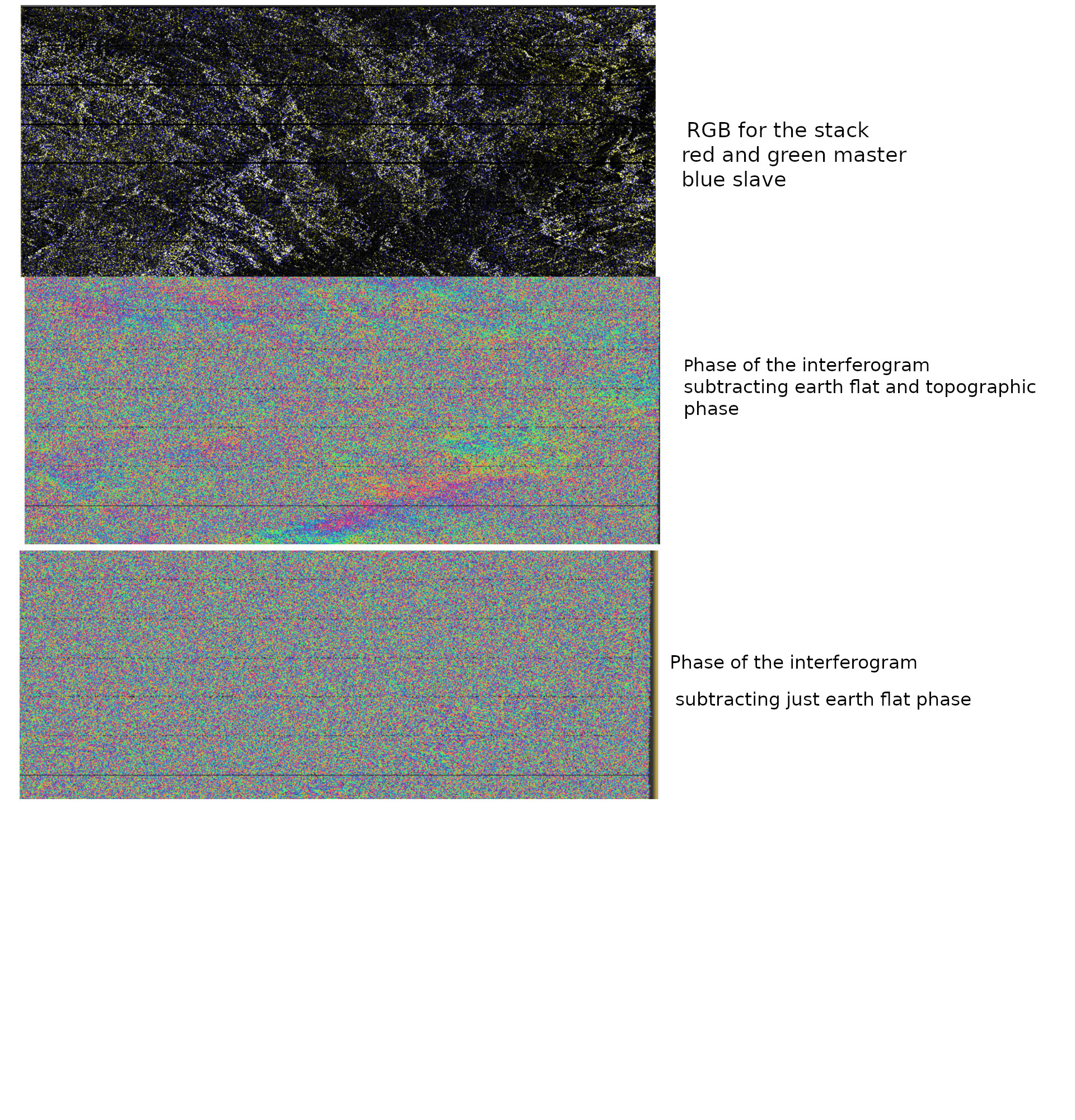
I have tried the STRM 3 sec for backgeoding. But i can not get a great interferogram phase. I can not get the fringes.
My data is SLC from Sentinel 1B and the mode is IW. The baseline is 167 km.
Maybe should I try different parameters for ESD?
I am attaching images of the RGB of the stack and images of the phase of the interferograms.

Thank Andreas for you efforts in clearing issues.

Marthabm

good job.
If your aim is to detect subsidence, short perpendicular baselines are are better.

hello
My goal is to make a DEM.
I was thinking that the phase of the interferogram should show fringes, and I dont see any fringe.

And after I deburst and apply Goldstein filter, i dont get any image of intensity and any image of the phase. I just get a black screen and purple screen for the intensity and phase image. It is not a good job at all.

thanks

Martha

If your aim is to create a DEM

  1. select a pair with long perpendicular baseline (above 100 m) to get more fringes
  2. use the smallest temporal baseline possible (6 or,12 days) to reduce phase decorrelation
  3. select images from the dry period with lowest vegetation cover
  4. make sure that no rain occurred during both images
  5. do not subtract the topographic phase (this is the information you want)
  6. visually check the quality of each step. If the outcome is black, go back to the last step where the inputs were still alright

Thank you
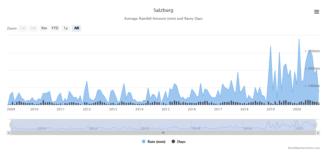
How I can make sure that no rain occured during images acquisition ? I use the Alaska Satellite Facility to select the images with right baseline but I dont see a way to select images that were acquired in dry time.

Thanks in advance

Martha

you can check here, for example, which provides rainfall estimates for any day in the past: https://www.worldweatheronline.com/

thank you, i will try to get new images in according with the website.

Thank you in advance for answering.

Martha