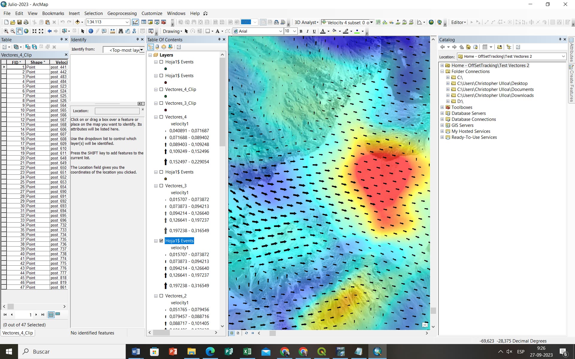
The vectors indicating the highest speeds that I export from the velocity product (Offset tracking) have different positions than the highest speeds anomalies detected on the glacier. I show the problem with an example, the points are displaced, I am copying the coordinates that appear in velocity product directly from the Snap to the notepad and then to the arcmap. I am using Range Dopler Terrain Correction to decode the velocity product.
Anyone who can give me some advice on where I might be going wrong?
Best regards.