Good evening,
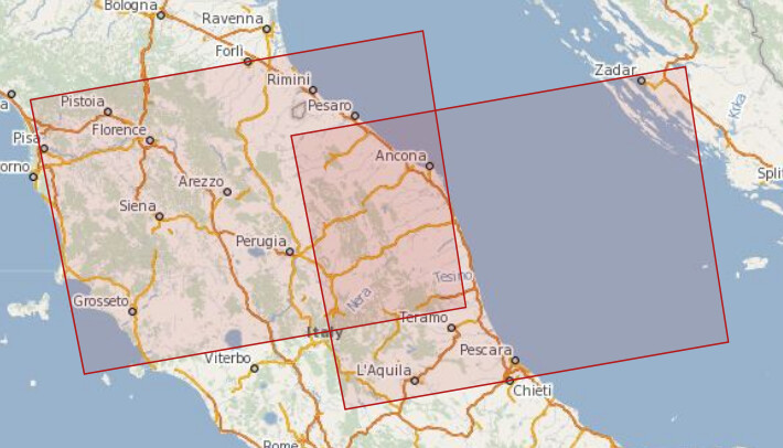
I am trying to create a C2 matrix from Sentinel 1 SLC product. I am following the steps advised in this article (doi: 10.20944/preprints201911.0393.v1). The problem is that my area of interest is just between two different product that are not acquired in the same day.
I would like to have one C2 matrix covering my entire area of interest. Is it correct even if they are from different dates and orbits? Whic processing steps should I follow?
For each product I tried:
TOPS split → orbit file → calibrate → back geocoding → TOPS deburst → merge
Than i tried to mosaic the two merged images (befor matrix calculation) but It gives me strange results.
Thank you for the reply. There is a small slice of land which is not coverd by the first image.
After the matrix generation I should do H-Alpha Dual Pol decomposition
You can simply apply this processing to each product
TOPS Split (select only one sub-swath and the corresponding bursts)
Apply Orbit
Calibrate (complex)
Polarimetric matrix generation
Deburst
Then you merge both with
S1 Slice Assembly
Terrain Correction
The processing described in the article you mention is unnecessarily complicated and is only required if you want to work with the data in PolSAR pro later.