Hi, not sure if I am in the right category.
I am a total newbie and I would like to ask if there is a (simple) way to calculate the total sediment load in a coastal region using the TSM_NN band in SNAP?
Any help much appreciated !
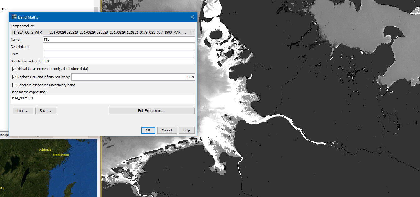
I actually also don’t know. At least there is do existing operation for it in SNAP. You can use the Band Maths to compute the total sediment load, if possible.
While searching for it, I found two articles
- A simple total sediment load formula — University of Arizona (elsevier.com)
- Flood-driven transport of sediment, particulate organic matter, and nutrients from the Po River watershed to the Mediterranean Sea - ScienceDirect
If I understand correctly you need the speed and amount of water to calculate the total sediment load. Both is not available in the OLCI data. So, I guess you need external data for the waterbodies you are interested in.
But maybe someone else has more educated knowledge.
Hi, thank you for your reply. Is there no way to do this somehow over the pixel value of the TSM_NN band ? Would you know if another application, such as ENVI would be able to do this ? There must be a simpler way (this is a task in a beginners remote sensing course).
I’ve just talked with some water experts. And they I agree with what I said. You need to now the depth and the speed of the water. And there is even more complexity. the sediment transport can go in different direction in different depth. TSM gives you only a value for the visible surface layer. Deeper layers are not measured. Maybe the exercise is not well explained by the teachers, or it is a trap 
Hi Marpet,
thank you I maybe should have mentioned that it is also stated that for simplicity it can be assumed that the water depth is 1m and TSM = sediment but I guess that is still not enough? A suggestion is to use something like “zonal statistics” but I am not sure if there is a comparable tool in SNAP (I only know this tool from ArcGIS).