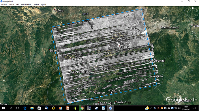
Interesting, my understanding was that the 1.5 product was missing the slant-to-ground transformation coefficients which makes terrain correction impossible. We should look into this @lveci
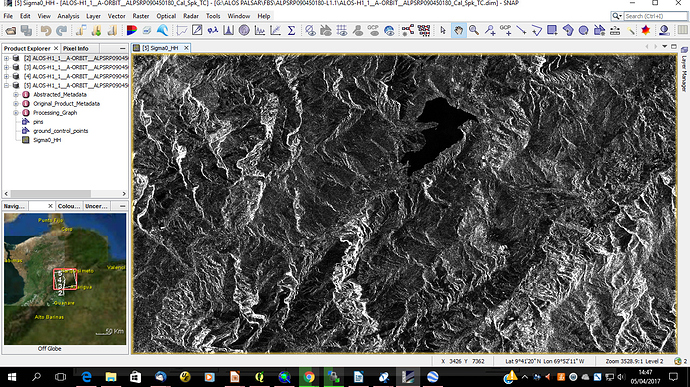
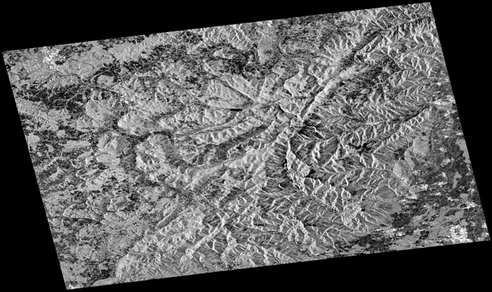
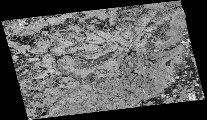
I don’t know how it’s implemented but it delivers great results:
Level 1.5 Geocoded
Level 1.5 radiometrically and geometrically Terrain Corrected
Thanks ABraun, I go to try with Mapready!!!
and Thanks Mengdahl!!!
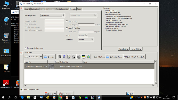
what DEM did you use? Which projection?
Did you check “Also Apply radiometric Terrain Correction”?
Hi ABraun
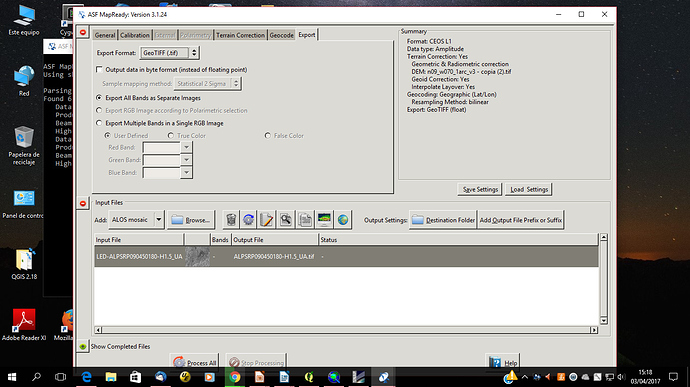
I used SRTM 1 arc seg, geographic coordinate, and not applied radiometric terrain correction!!!
don’t know what went wrong. Can you send your used parameters? (with screenshots)
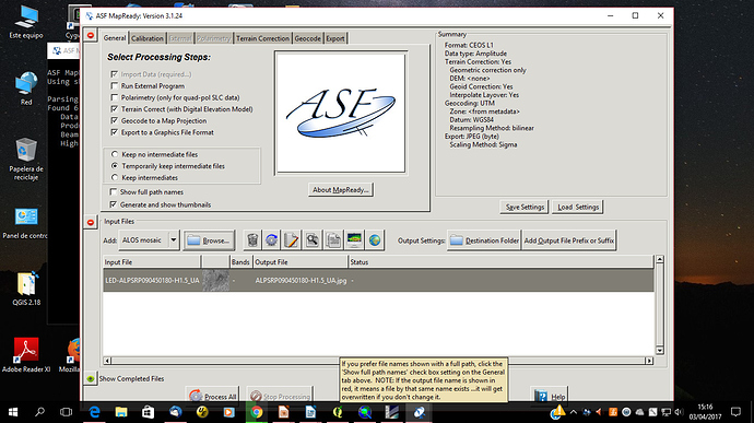
ABraun I think that my error is in input files! I have one image, no mosaic of ALOS PALSAR… Please correct me!!!..
Thanks for advance
if you have the standard Level 1.5 ALOS data you better choose the CEOS (Level 1) import.
The ALOS mosaic is only for this kind of data:
http://www.eorc.jaxa.jp/ALOS/en/palsar_fnf/fnf_index.htm
Strange…
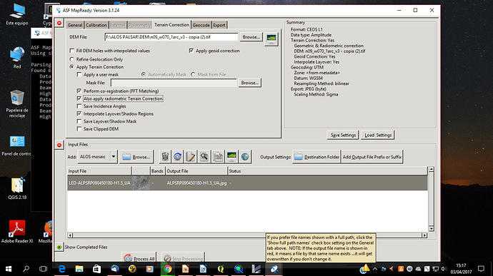
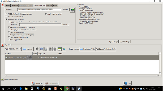
Which options did you choose in the Terrain Correction tab?
Hi ABraun
This was the parameters that I selectioned for terrain correction in Map Ready:
Thanks for you help
can you try disabling “interpolate layover/shadow regions”?
Hi ABraun, I done it, [quote=“ABraun, post:55, topic:1727, full:true”]
can you try disabling “interpolate layover/shadow regions”?
[/quote]
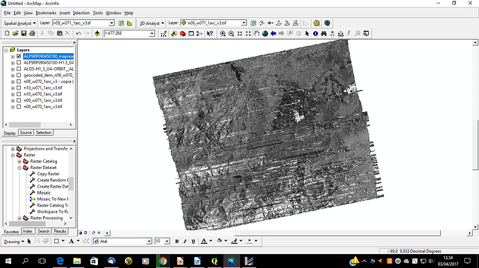
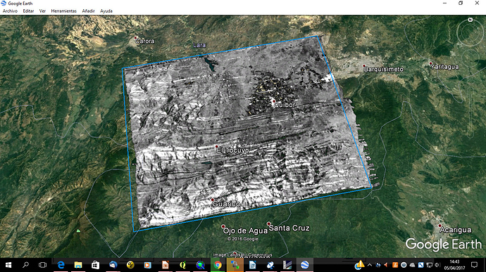
This was my result
I don’t understand what happen?! 
I’d like to try it myselve can you send me the location and date of the scene please?
Oh thanks very much!!!  of course:
Date: 2007-10-06
Modo: FBS
Path: 135
Frame: 180
Ascending
Level: 1,5
File name: ALPSRP090450180-L1.5
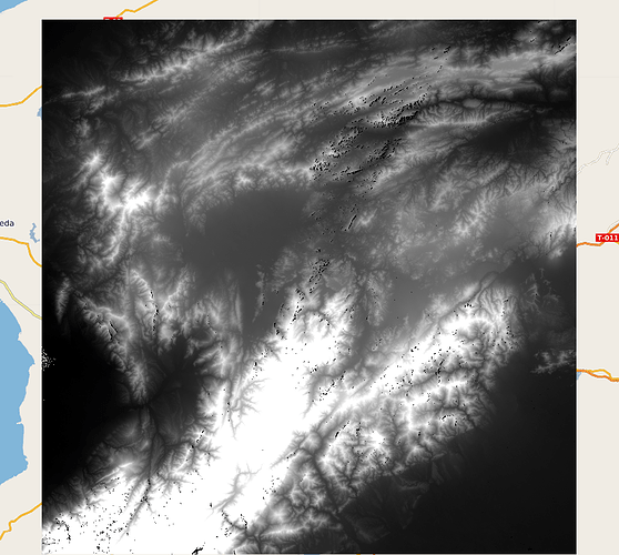
Did you notice that the SRTM has holes in your study area?
I’m quite suire that they cause the artefacts, but I’ll give it a try.
Yes, I saw this!!! 
Thanks ABraun for you help!!!
 :
: