I want to make sure I am properly understanding the difference between the L1C and L2A data levels. From my understanding, the L2A is simply L1C data with some processing done to remove the effects that the atmosphere has on an image. That is, it removes discoloration caused by the air itself, or things in the air (such as smog).
The Level-2A processing includes a scene classification and an atmospheric correction applied to Top-Of-Atmosphere (TOA) Level-1C orthoimage products. Level-2A main output is an orthoimage Bottom-Of-Atmosphere (BOA) corrected reflectance product.
@ABraun Thank you very much. I saw that in the documentation, but last week was the first time I ever used any remote sensing program other than Google Earth, so I am still learning the terminology.
So if I wanted to make the surface IR of an area (to look for temperature variations), I should use L2A?
L1C allows you to perform atmospheric correction yourself. If you have good knowledge on cloud removal or the estimation of atmospheric conditions at the time of image acquisition (sun angle, water vapor) you can probably create a better product than the automatically created L2A, but most people (including me) are happy with L2A data.
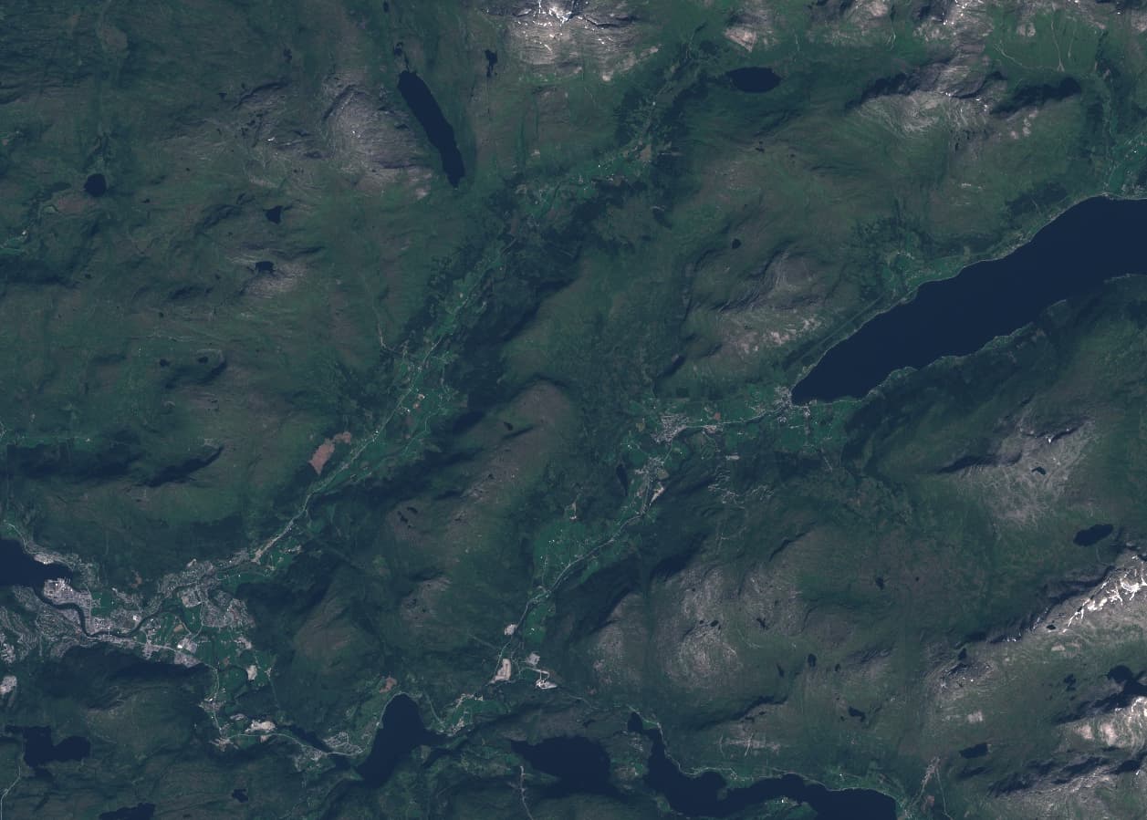
Also just notified a curious artefact here in the 1C image, it is not visible in the 2C.
Is that a plane with a vapour trail? and the very slight offset to do with the tiny time difference of the different light bands being captured?
Ok thank you! How might I find out if this is corrected? Is there something I can follow?
For now I think I need to use both products to get good results - since I am interested in doing change detection on steep slopes and I get strange results from 2A, but I want the SCL band from 2A for masking.
This feature of the S2 acquisition is described in section 6.2.2 (Misregistration of High Altitude Objects) in the L1C Data Quality Report that is updated every month.
How about the overcorrection effect on the slopes in the 2C product? - if you do a change to the way 1C images are processed to 2A - do you apply the changes to images collected in the past, or just to newly acquired images? I’m wondering if I should try my classification again with the ‘same’ 2C image in a month or two.
Yes; we were impressed when we first saw it. Hence the addition to the Data Quality Report
The general policy for correction of previously acquired images is to wait for a reprocessing of the whole archive, with any information on the issue - and its potential remediation by the User community - added to the relevant Level (L1C or L2A) Data Quality Report. It will also be raised as an Anomaly, and included in the Anomaly Database.
As noted by @marpet the feature you have identified is being discussed by the expertise at the S2 QWG, and I would expect an outcome of their analysis in the near future.
I’m not sure how common the issue is. I think I would need to understand your AOI for that. All I can say (and I fully appreciate that this is of little help) is that it is present in some products.
I would note that the L2A DQR also identifies that products with SZA above 70 degrees Lat should not be used.
5.4 Maximal Sun-Zenith Angle
Users are advised that products with a Sun-Zenith Angle (SZA) higher than 70° are processed with a clipped SZA value of 70°. This results in an under-correction of the atmospheric signal, which results in a bluish colour on the L2A products.
The surface reflectance of products with SZA > 70° should not be used for quantitative/scientific analysis. The value of the SZA can be obtained from the GRANULE metadata (MTD_TL.xml, field Mean_Sun_Angle/ZENITH_ANGLE). In the coming period, a warning message will also be introduced in the GENERAL_QUALITY report to identify these products.
I’ve just looked at the GRANULE General Quality Report for [S2B_MSIL2A_20220217T110009_N04…T32VLP_20220217T130341.SAFE] and the Solar_Angle_Zenith angle of the Tile is 74.1520390729867 degrees.
WARNING: Zenith solar angle (74.1520390729867) is above recommended Level-2 threshold limit (70.0).
This is good to know, I’m also interested to know when this issue with overcorrection will be corrected. How can we be updated? According to the last data quality report for 2A data of February 2023 this is still an issue (5.3.)
The report is a good way to keep track of this issue.
I’m not aware of a reliable way to be otherwise notified of changes in the processing.
Some changes are mentioned in the Copernicus new. Open Access Hub (copernicus.eu)
If we get aware of major changes, we usually post them here in the forum.
@Jan Do you have a suggestion what to follow to get “officially” notified about changes?
I don’t undertand why the overcorrection problem due to topograpy in the S2A data is still not solved. To my understanding it results from using a DTM during the atmospheric correction of the S1C data. So the solution would be to not use the DTM. Why is that simple change not implemented?
Hello @PBeck
In order for your question to be addressed by those who are working on the problem, you should ask for feedback via an email to eosupport@copernicus.esa.int