basically, DEM-based coregistration relies on the fact that topography influences the variation of backscatter. Slopes facing towards the sensor show higher backscatter because of a larger incidence angle while slopes facing away from the sensor are generally darker.
Using a DEM and the acquisition geometry of a SAR image, a simulated SAR image is generated which only describes these variations (based on the local topography, the look direction and the local incidence angle). The result looks like this:
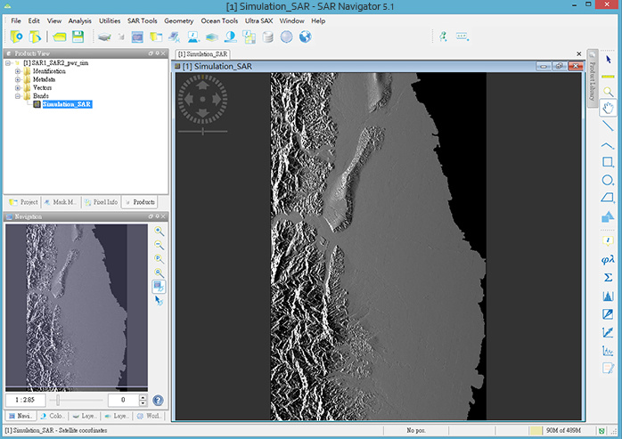
Image source: http://www.airgmap.com/a_sar_nav.html
The simulated image is resampled to the pixel size of the corresponding SAR image. If you want to coregister two images of different sensors, you select one master product which defines the spatial resolution of the simulated image and the resulting product.
The simulated image is then compared to the original SAR images to find similar patterns (caused by the terrain). This helps to locate both radar images on the earth’s surface and alighn them within one stack.