Recently I’ve been working on a small project aimed at mapping the damaged buildings in some Ukranian cities, bymeasuring varations in coehrence over time.
I started off by geocoding every images with the one right after it then generate a coherence map for the pair, and repeating the process for every image available over a period of 9 months.
I then created a stack with every interferometric pair i’ve had so far using the stock parameters in snap, except I noticed two issues with the created stack, the first one being an offset in the positions of the buildings. Before that, when opening every pair as a separate products and syncing the views, there were no offset. The second issue is that I noticed a there was a slight change in coherence for the same spot in the same pair in the stack and as a separate product.
I then created another stack but choosing the “product geolocalisation” as the “initial offset method” which did help limit the offset but it’s still present.
Now I am wondering if there’s a way in snap to create a stack with every image in it using one single image as a reference for the geocoding, and then measure the coherence between every image and the one after it and NOT the master image.
UPDATE:
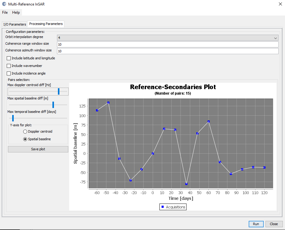
After running the back geocoding with one central master images, I then used the “Multi-Reference InSAR” tool in Snap, I didn’t understand yet what all the parameters do but after fiddling a bit with the pair selection sliders I managed to get the desired results.
It create both interférogrammes and coherence maps which make the processing take a lot longer than it needs do.
To create the only coherence maps stack you can use PyGMTSAR (Python InSAR): GitHub - mobigroup/gmtsar: PyGMTSAR It is an InSAR processor with SBAS and PSI time series analyzing features. It is possibly the fastest InSAR processor and is available on Google Colab notebooks, in Docker images, etc. where processing is automated, including software installation, Sentinel-1 scenes, DEM, and land mask downloading. This process requires just a few minutes for small areas. A ChatGPT-4-based AI, PyGMTSAR Assistant, can guide you in multiple languages: ChatGPT - PyGMTSAR Assistant Here are some examples of requests you can make to it:
How to start with InSAR?
Where can I find interactive InSAR example?
Please provide interferogram creation code.
Show me online InSAR examples on Google Colab.
Explain to me content https:// colab.research.google.com /drive/1673p-BhRwsh8g3VBYhqBYLrL5Lso81mj?usp=sharing
Show me open tickets.
Find the recent ticket about Docker images and display last message.
Create my AOI as GeoJSON text for a line between the points (-24.42, 14.8) and (-24.54, 14.88).
Could you explain the global plotting parameters used in https:// colab.research.google.com /drive/1dpDWbp3BO-xVWnTcJN4NXTdfZ47oxrM4?usp=sharing
What specific lines of code need to be modified to compute the interferogram without multilooking in https:// colab.research.google.com /drive/1dpDWbp3BO-xVWnTcJN4NXTdfZ47oxrM4?usp=sharing