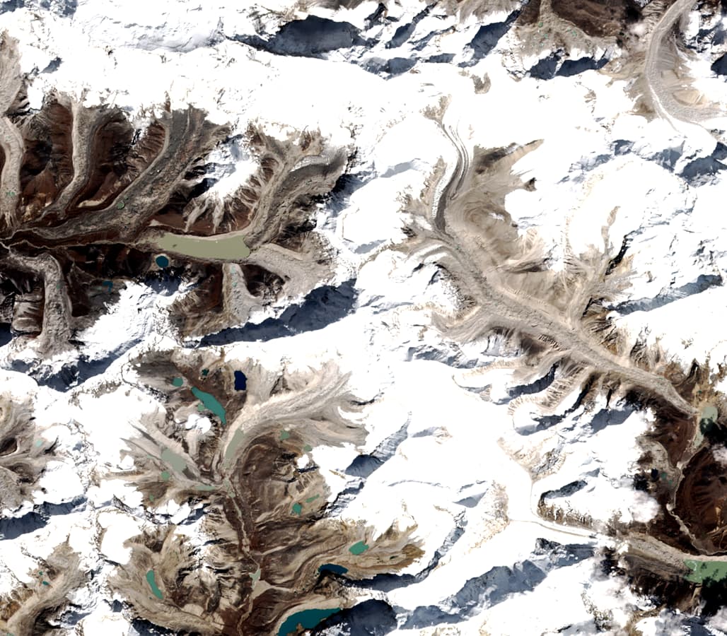
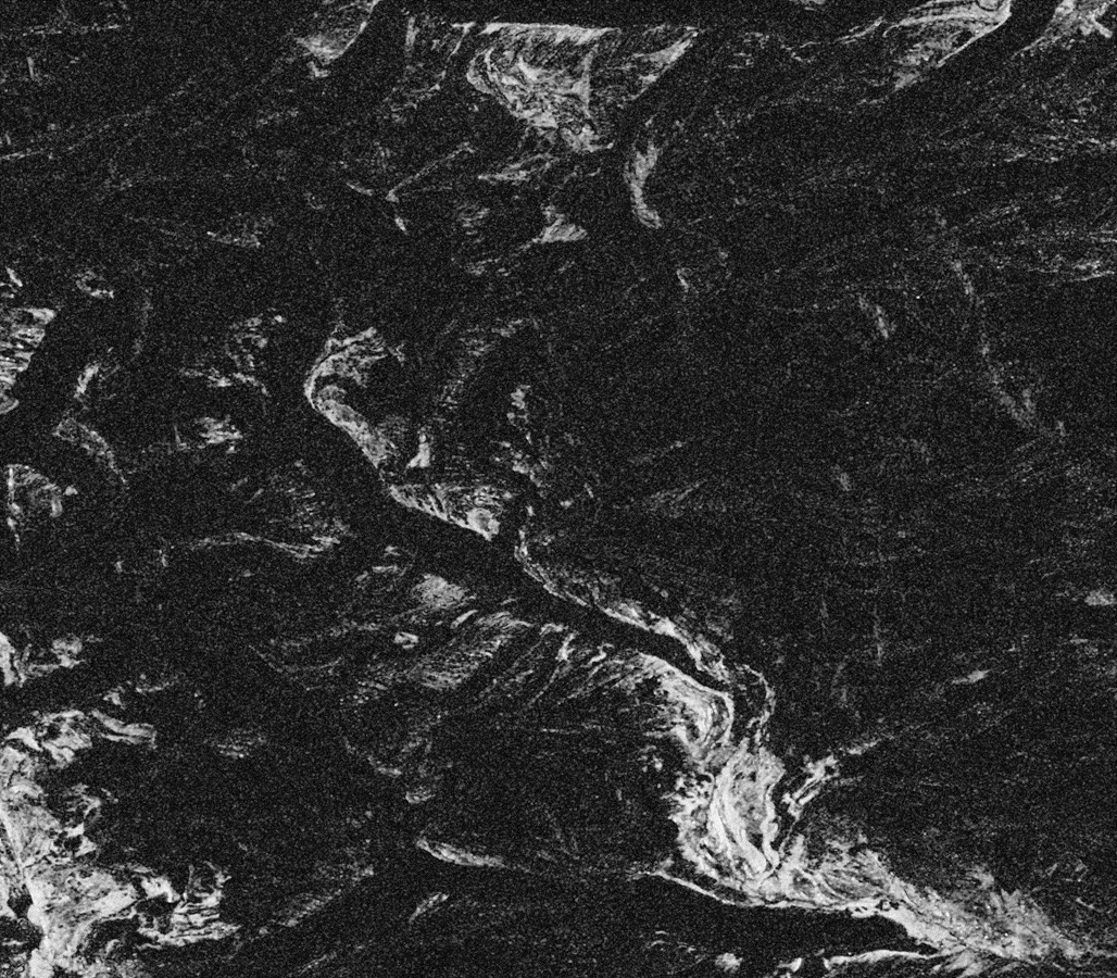
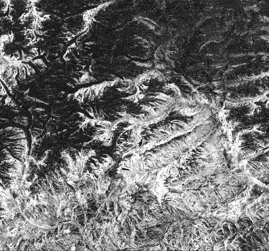
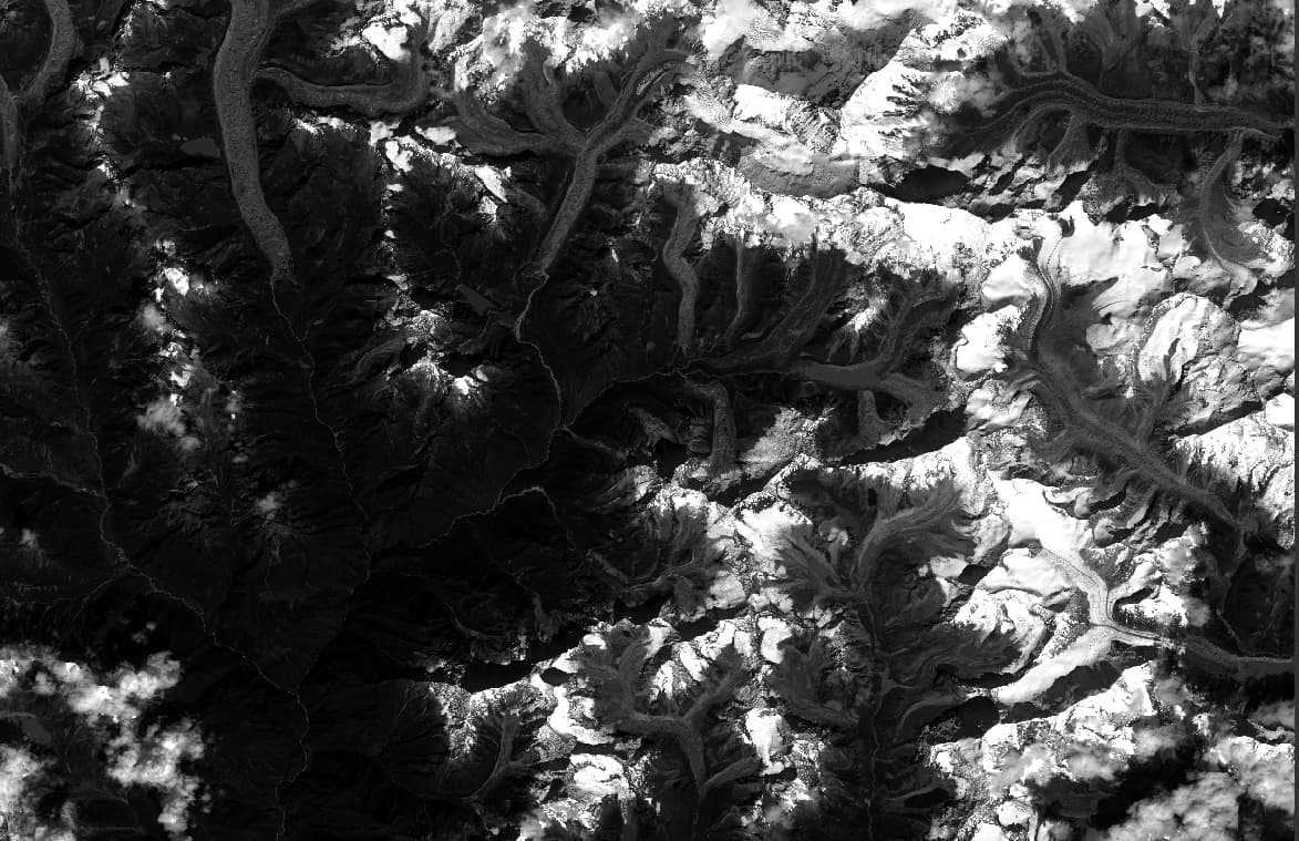
I am trying to collocate a coherence image with a sentinel-2 image, the region that I am trying to collocate is in the High mountain Asia. For some reason, there is a major noticeable shift in the final result. My steps were as follows :
Create a coregistered stack
Calculate coherence using the Coregistration tool
Subtract flat-earth phase and subtract the topographic phase by using external DEM (ALOS world 3D)
Well, it is difficult to say. I understand your master is the OLCI scene. Check the accuracy of the geocoding in OLCI and S1. In SNAP S3TBX preferences check the box use “per-pixel geocoding instead of tie-points”. I am not sure how your coherence band is accurate, you could also check that,