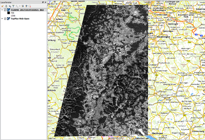
I wan’t to create custom way of cropping S2 jp2 image. For that I need to correlate original jp2 image and its coordinates. Does anybody know how unzipped S2 data (downloaded from Copernicus SciHub) can be used to relate image with coordinates.
I was reading about S2 data structure (thats how I’m getting the jp2 image) but I can’t figure out how to find coordinates and connect them to the image.
If you open the Sentinel-2 product with File > Import > Optical sensors > Sentinel-2 you have all pixels geocoded in SNAP.
I’m not asking about how to open product in SNAP.
I want to know how is SNAP geocoding Sentinel-2 product so I can create piece of code that generates JP2 image with location coordinates?
I don’t get the problem, JPEG2000 fully supports geocoding and the rasters of the Sentinel-2 products are already in UTM coordination system.
You can read here how JP2 data can be geocoded. As world files are not present in the S2 folders, they must be internally georeferenced.
http://www.gdal.org/frmt_jp2openjpeg.html
I didn’t know that JP2 can be geocoded. That is what I need. Thanks.
