Could you suggest me a substitute for STAMPS software for performing Persistent Scatterer interferometry (PSI)?

SNAP software offers interferograms stacking for performing PSI on STAMPS and Phase Unwrapping on SNAPHU which both only operate on Linux operating system which is too complicated for a Master’s project. Is there other substitutes for these software to create terrain deformation maps, time series and only requires Windows OS?

I would say this depends on your study area. If you get nice interferograms, you can use a series of them and analyze displacement rates pair by pair.
If you have much decorrelation in your area, persistent scatterer approaches seem unavoidable.

I realize that high coherence produces interpretable interferograms but vegetation and wetlands mostly causes low coherence but my study area is fully a desert terrain yet the interferograms I tried to create weren’t very promising, fringes weren’t very obvious. What is your definition of “Nice interferograms”?

to me good interferograms

  • do not contain noise areas due to decorrelation
  • have clear patterns related to either surface changes or topography
  • in case of DInSAR: do not contain variation caused from atmosphere

Let’s take this as an example: The patterns clearly indicate surface chages in the earthquake area, but do not show larger variations outside

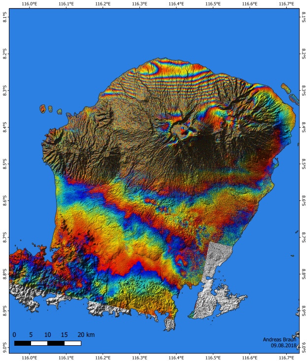
In contrast, this one has clear fringes outside the volcano, but is decorrelated at the slope areas - the information is not usable here.

If your study area is desert, there should be a way to have clear interferograms.

2 Likes

Hello,
it would be possible to monitor the vertical displacements of a bridge by analyzing the images pair by pair, or it would be better to immediately apply the “Persistent Scatterer Interferometry” methodology.
thanks

There are some open tools for displacement mapping, but I can’t tell which of them is most suitable for your case.

If there’s a high coherence between the two acquisitions, what other factors can cause an interferogram to have no fringes pattern at all? I may think that the earthquake event between those two dates didn’t cause a noticeable surface deformation to be detected by the S1 differential interferogram. I have created multiple interferograms for various earthquake events around this region but most if not all the interferograms look like the image above, with very high coherence.

coherence looks great, but these patterns are suspicious and indicate atmospheric contributions.
The fact that you don’t see any other fringes indicates that surface movement is small in the area. This would mean that the earthquake shook the area without any rupture or displacement inside the image. Did you also try a different look direction?

If you are lucky and your area is covered, you can compare with interferograms from the COMET-LiCS web portal.

1 Like

Unfortunately my study area isn’t covered by their project. This is an ascending flight path. I will try descending image acquisitions and see if any difference may appear

Quick question about those patterns since it was mentioned. Is there an article or lecture somewhere that gives examples of these types of atmospheric contributions and how to identify them?

1 Like

yes, there is one very recent publication: Mitigation of Atmospheric Artefacts in Multi Temporal InSAR: A Review

This publication also deals with it: How to avoid false interpretations of Sentinel-1A TOPSAR interferometric data in landslide mapping? A case study: recent landslides in Transdanubia, Hungary

And here is a nice example from Accurate DEM Reconstruction from Permanent Scatterers and Multi-baseline Interferometry (PDF)

Klick here

interferogram (left) and expected atmospheric contributions (right)

interferogram with atmosphere removed

1 Like