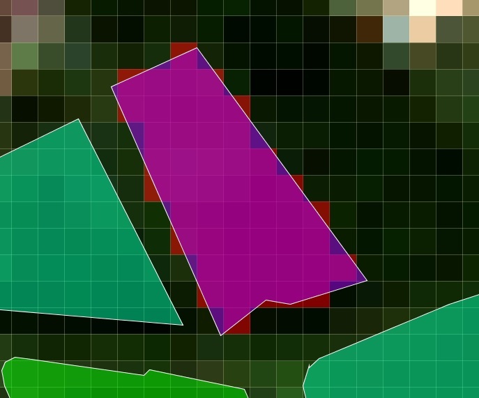
I am currently working on small scale pond systems with sentinel 2 data. I have .SHP polygons of the ponds I wish to analyse, but in order to limit the amount of land distorting the pixel values, I wish to exclude all pixels that are not 100% overlapping with the vector polygons.
Ok, so if I understand correctly, pixels that are at most 50% overlapping will be inlcuded in the mask.
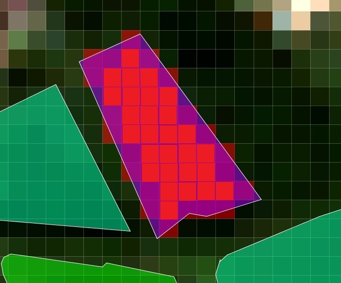
I will try shrinking the polygons by a buffer of 5m (size of half a pixel) so that should make sure that only the pixels fully included originally will be kept.
The decision to consider a pixel or is is if the centre point of the pixel is inside the polygon. Which is probably almost the same as a minimum of 50% overlap.