hello to all, please what is the point of creating the VH-VV and VH / VV bands for classification in radar images?
It increases your feature space. Additionally, building difference or ratio between polarization configurations might reveal patterns you wouldn’t see in the original bands
See also here: Classification of GRD product
1 Like
ok thank you ABraun ;
i want to do the classification in snap and i already have a shp file contains the drive areas, my question how will open this file in snap to do the classification?
On importing shapefiles, have a look at this post: Removing land by masking
It is answered one post below.
On their use as training areas: Rndom forest classification steps
yes I import the shp file into snap, but when I run the RF .snap displays the following message.
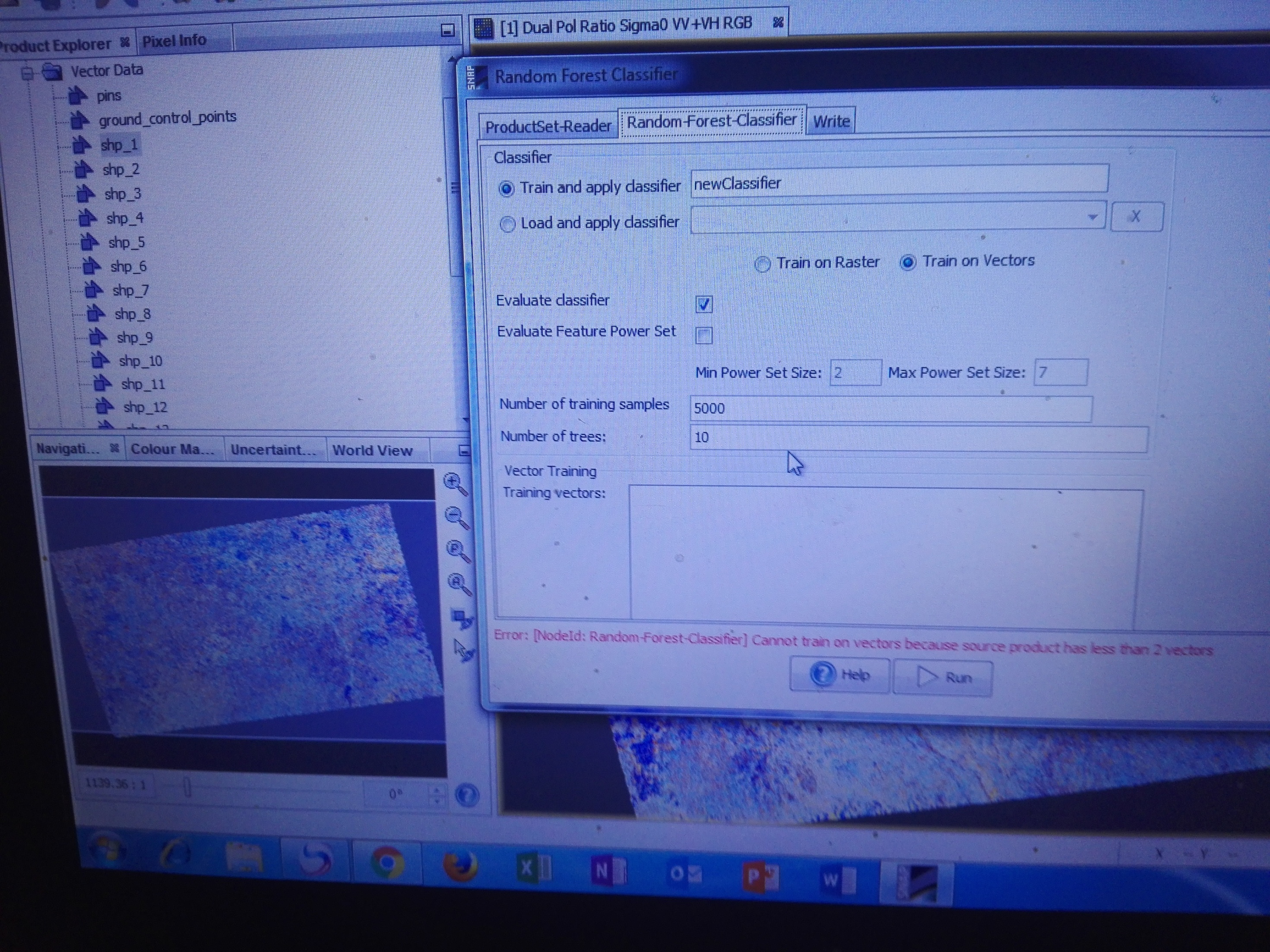
I do not know where the problem is, and a big thank you for your precious help.
your shapefile should consist of many polygons with a class description in a separate column.