What is the procedure for cropping out a common rectangular area between S1 & S2 with the corresponding processing steps? I would like to do some conditional processing and hence would ideally like to have the same number of pixels/resolution. Also, I would like to know if is it possible to have the common portion in separate .SAFE folders or will both the datasets be stacked together in a single .SAFE folder.
That’s a pretty generic question and difficult to answer briefly. Probably that’s why no one answered yet.
You need to bring both products to the same resolution and then you can crop by using the corner geo-cordinates.
Assuming you use 20m resolution for your work:
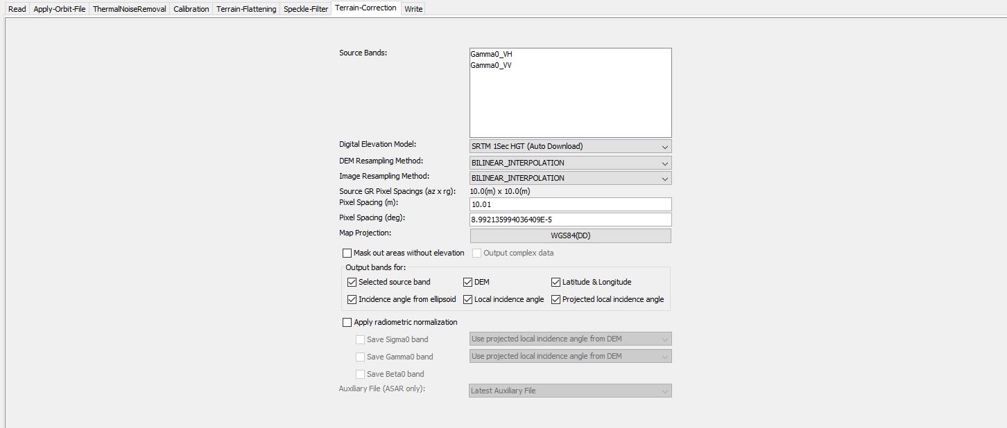
- First preprocess S1 (especially do Terrain-Correction)
- Resample S2 to 20m
- Crop S2 to your area
- Use the Collocate operator S1 and S2, using S2 as master.
This should roughly be the way to do this.
Maybe you can ask more specific questions when you have started to set up the processing.
Will this generate a pixel resolution of 10 x 10 m,
which can then be collocated with S2 image which has been resampled to 10 m using any of the reference band as mentioned in the following link,
https://sentinel.esa.int/web/sentinel/user-guides/sentinel-2-msi/resolutions/spatial
I see that one can also resample S2 image with a 10 m reference band (say B2) and then perform the Collocation for a High resolution IW mode (pixel resolution: 20x22 m and pixel spacing: 10x10 m).