hello,
I’m having issues with crop mapping with s-2 image, after the vector data and reprojections, the result I’m getting is blank.
as a first step, I recommend to import the vector data after reprojection.
If this does not lead to a solution, we need more information on your workflow.
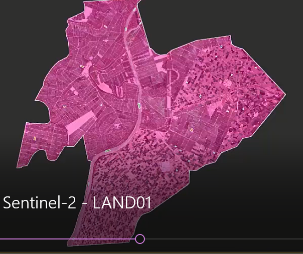
the attached image is there result after reprojection and mask
and the result i got is attached following: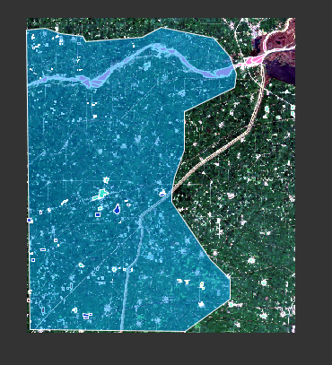
How is the result black after import? It looks fine to me so far.
The large polygon (blue) contains the smaller ones? If you use them for supervised classification, this can lead to problems.
the large polygon(blue) is the study area
I cannot really tell what is wrong because the tutorial you refer to is from RUS and I am not familiar with it and the steps behind.
For example, whey are there small polygons (for training?) and one large one (for cropping?) and how are these vectors organized in the product.
If your overall aim is to exclude all pixels from the analysis which are outside the blue large polygon, you can simply use a valid-pixel expression for the bands.
valid-pixel expression for the bands - can you please explain this or elaborate this ?
a
if the name of the blue large polygon is “study_area” you open the band properties of all rasters and enter “study_area” under valid pixel expression. This makes all pixels outside the polygon transparent and no longer part of the analysis.
1 Like