It is solved
Dear @ABraun, I created the .CSV file inside MATLAB and edited it and moved it to QGIS, then I converted it to a shape file, but in I still do not know how to act, can you tell me to continue?
can you please share your csv? If it is too large, you can include only the first 100 lines, for example.
Dear @ABraun , csv file attached. thanks
stamps_tsexport.2.csv (30.1 KB)
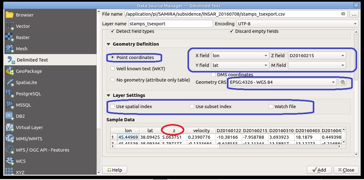
I slightly changed the first line: The first two colums are x and y, the third is not the velocity, therefore I added ‘z’
lon,lat,z,velocity,D20200101,D20200113,...
Then it works
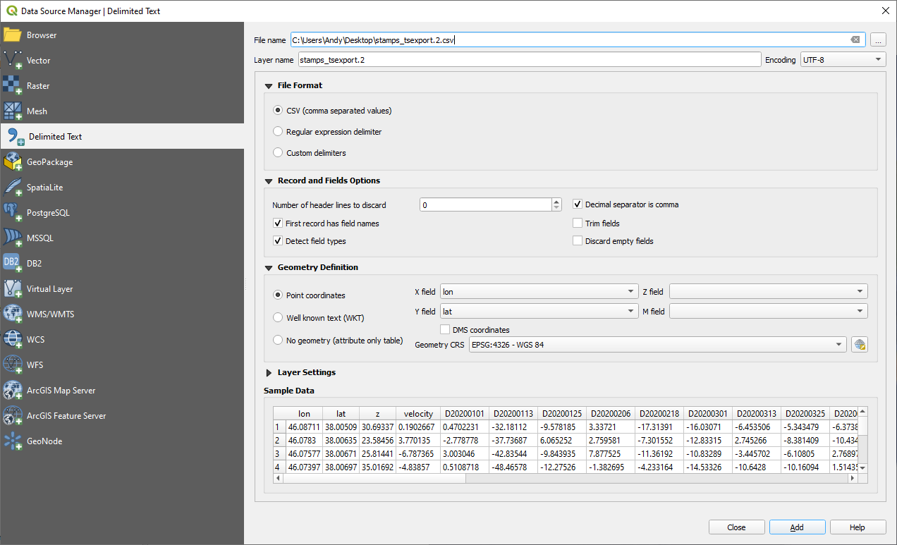
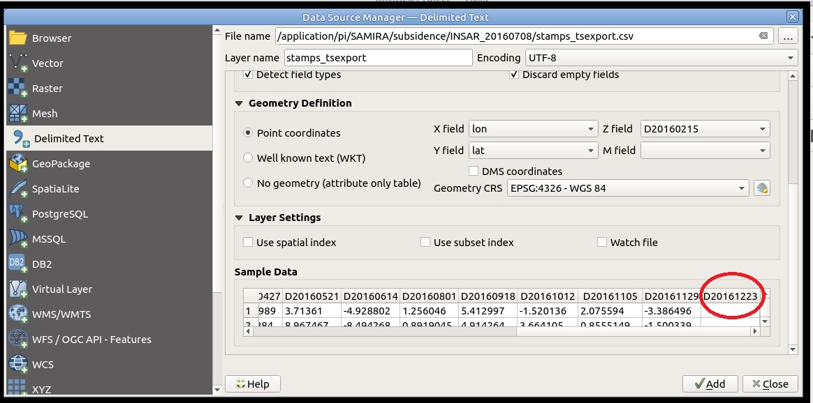
I added ‘z’ column, but there is an extra column at the end,??? in addition,which options should be checked when adding the .csv file
?
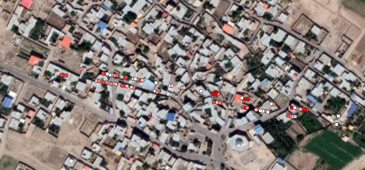
You are right about the column, the average velocity is correct at least. Haven’t seen this behaviour yet, so I don’t know what the problem is.
Settings are of minor importance as long as you assign the correct latitude and longitude columns.
Thank you . But I have not had a problem so far. My problem starts from this stage onwards, in fact, I do not know how and should I work with the shape file next step, and to better design the maps related to the velocity, etc., and to overlap it with layers such as the geology layer, pisometric layer, … Cognition and other auxiliary layers I want to tell me please.
Sorry, I can’t tell you how to do your analysis. But maybe an introduction into QGIS would help you understanding how to make best use of it for your specific sudy: https://www.youtube.com/watch?v=NHolzMgaqwE
The QGIS user community is much larger than the SNAP community, the documentation is generally excellent and there are translations of many documents. You are more likely to get good help from the QGIS community. Note that QGIS is built with Python and uses the GDAL library – some familiarity with Python and GDAL may be assumed when reading documentation. If you are not already familiar with Python and GDAL you will find a bit of time spend with introductory tutorials will make the more advanced QGIS documentation easier to understand.
2 Likes
Hello,
Let me remind you that this is a SNAP forum, not a QGIS forum.
If it’s not related with SNAP, please consider to post on the QGIS related websites.
Thank you in advance.
1 Like
Dear @ABraun,
How can I reduce the number of lines in a CSV file and actually delete the extra points very quickly, because the size of this file is really large and long. Is there a code for this?
the 10 in
ps gescatter('project velo.kml', ph disp, 10, 0.4)
stands for every 10th point in the data. If you want to export less points, increase this number.
1 Like