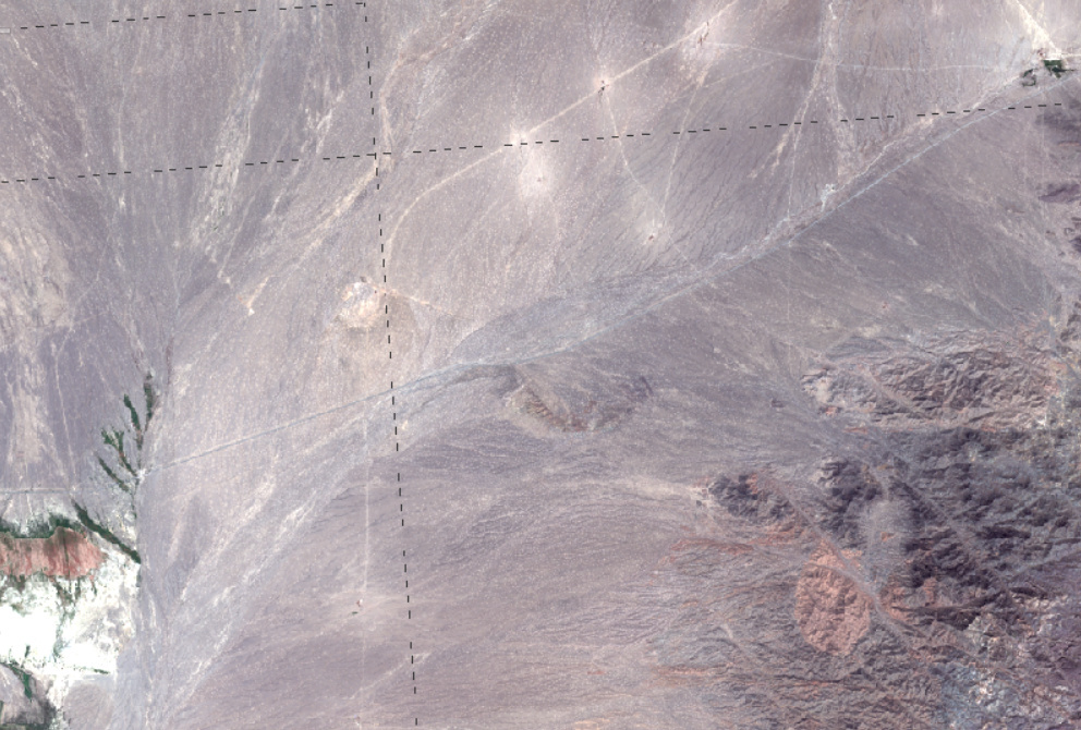
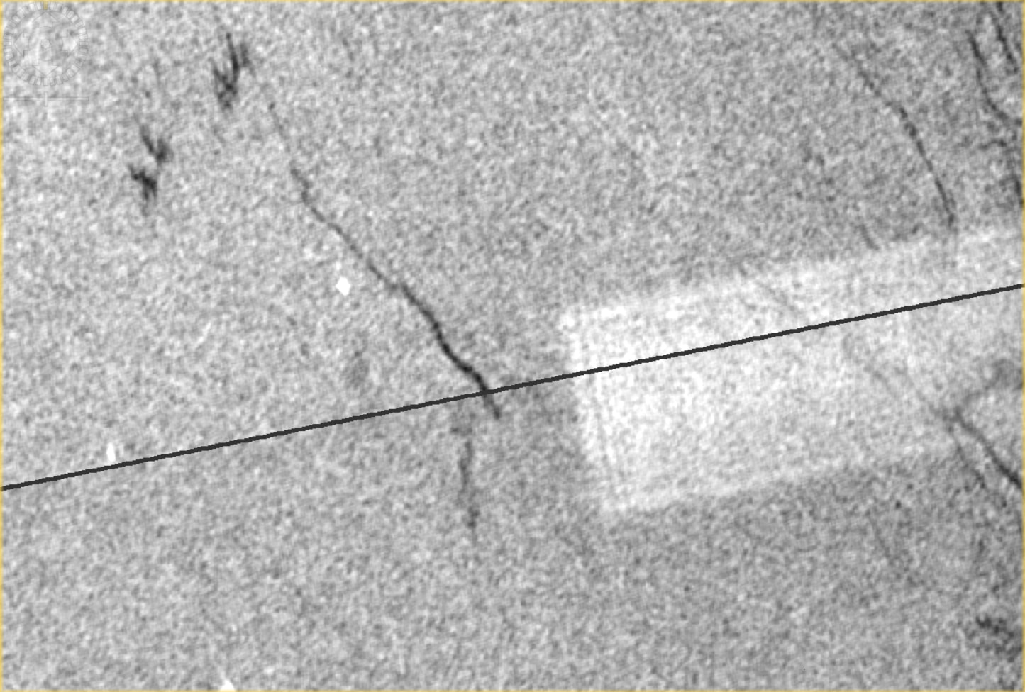
After mosaicing 3 Sentinel (1C) images there were some black dashed lines turning up close to the edges of the individual images.
Any ideas on how to get rid of them?
After mosaicing 3 Sentinel (1C) images there were some black dashed lines turning up close to the edges of the individual images.
Any ideas on how to get rid of them?
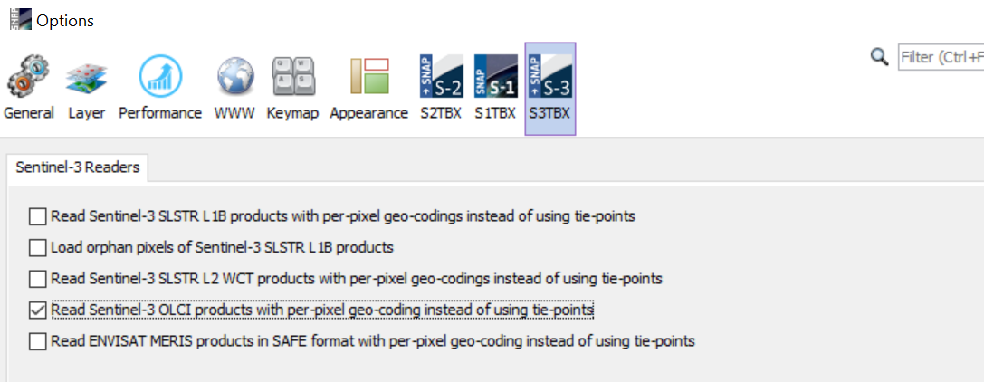
Which GeoCoding are you using?
It could be that this is caused by the inaccurate tie-point GeoCoding. You can switch to a more accurate pixel-based GeoCoding in the options. BUt the processing will take longer.
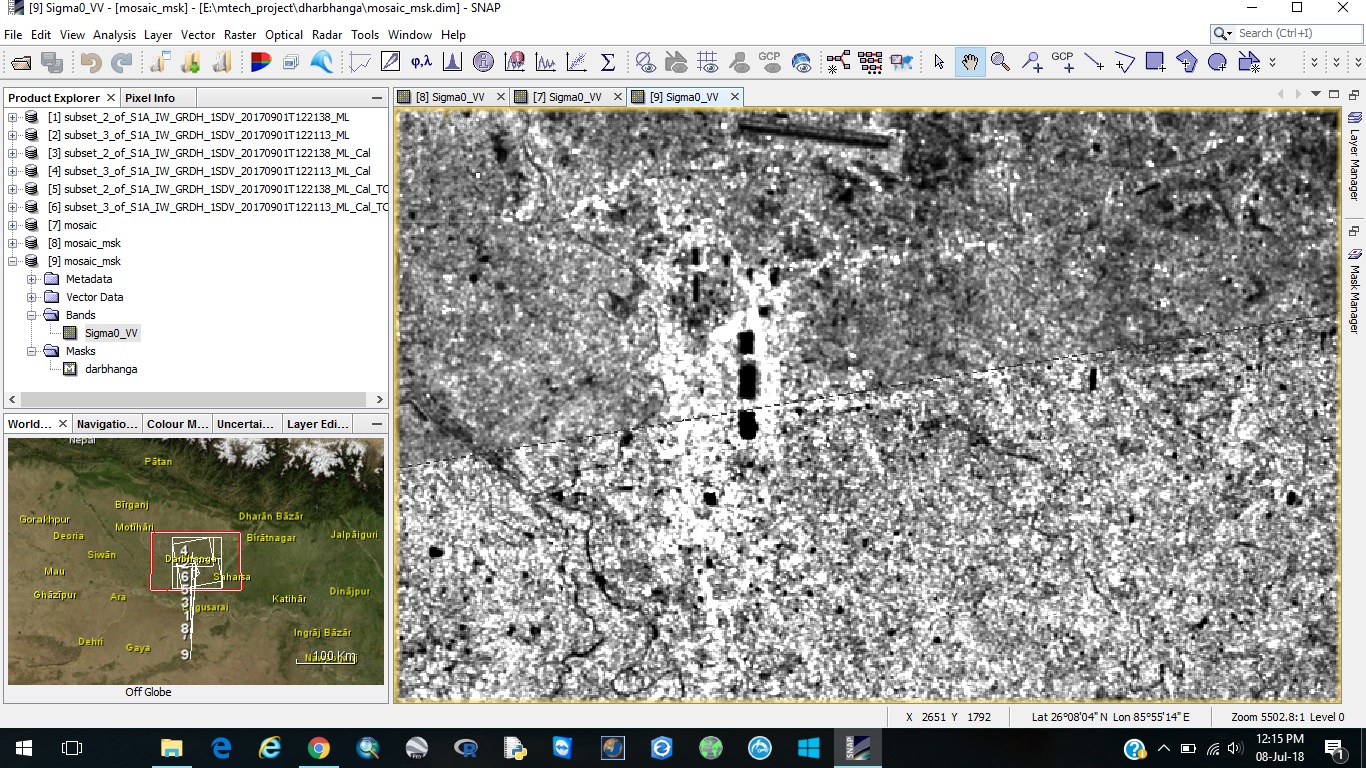
1.i am also getting dashed line in sentinel 1 grd images.how to remove that
2.and after subsetting the images and applying land mask using shape file i am getting the lat. long. information outside the mask as if the subset images is present. is their any way to remove that
can you please show a screenshot of the black lines?
have you tried to increase the “feathering” value at the mosaicing step?
how to take feathering value?
in the SAR Mosaic module
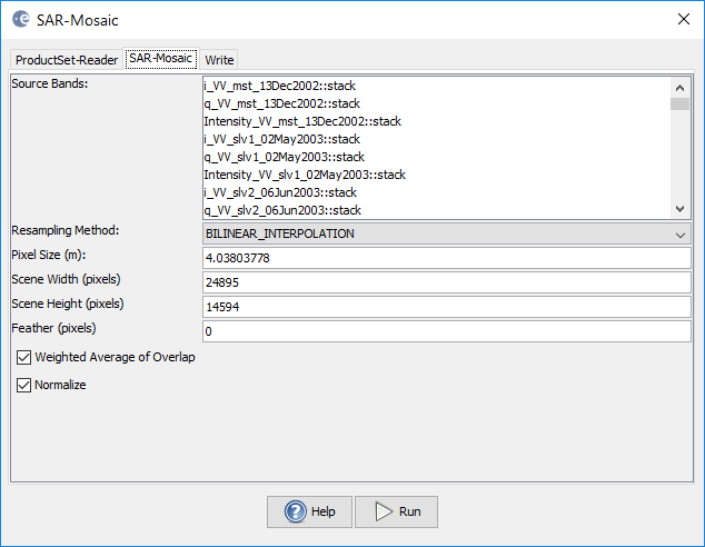
It is the number of pixels at the edges to be used for both images
In my case changing “featuring” from 0 to 10 did not help.
I used Ellipsoid (GG) correction for geocoding subsets of sentinel-1 GRD, before making a mosaic out of them, as I am working over water.
Could It be because of the limits of the accuracy of the Ellipsoid model?
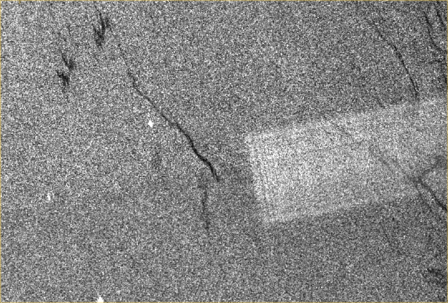
I made an experiment and it confirmed that the Geometric correction is the reason.
In the first try I Used Ellipsoid Correction (GG) operator on the two subsets and then made a mosaic out of them.
In the second try I Used Ellipsoid Correction (RD) operator on the two subsets and then made a mosaic out of them.
You can see the mosaic with a visible gap at the border of the two subsets belongs to the subsets after geometric correction with GG operator.
You can skip the geometric correction step and mosaic the two subsets directly. Set the “Feather (pixels)” to -1 and select “NEAREST_NEIGHBOUR” for Resampling Method. See if it helps with the gap.