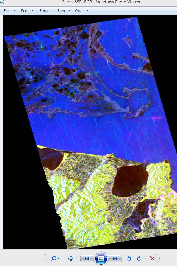
Not able to figure out what it is . this area is 44.183N,144.08E near japan. i am working on sea ice classification. and i dont know these are sea ice or else.
Impossible to help without any information.
What data are you using? When was it taken? What kind of decomposition did you apply? What’s the scale of the image?
You can have a look at this area in the EO browser of ESA: https://apps.sentinel-hub.com/eo-browser/
Here you can have a look at this area over a longer time-series. Maybe this helps you to check for hints on present ice.