Dear Amman, thanks for giving your advice, this issue is solved at the time, actually, it was part of lecture in the Agricultural Dep. Un. of Helsinki.
But coming back to your questions,
I have explained the differences of elevations in created DEM Compering to SRTM and ground truth, in the following post, please take a look,
This could be phase jump,
Did you apply Enhanced Spectral Diversity (ESD)?
Please take a look at the following post,
Also check up the corr. accuracy, because the low corr. accuracy could be a reason of phase jump,
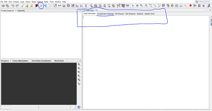
To check the corr. error or accuracy in SNAP, use InSAR Stack tool
It’s also mentioned in this post, coregistration error,
It’s worth looking at this presentation as well, Precise coregistration of Sentinel-1A TOPS data
Source: https://files.scec.org/s3fs-public/0129_1400_1530_Fattahi.pdf
