The problem in your case is probably the perpendicular baseline. If it is too small, the fringes in the interferogram represent too much elevation difference.
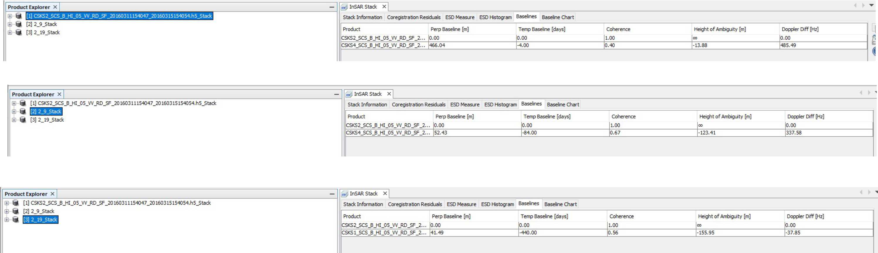
Please have a look at the InSAR Stack tool to check the perpendicular baseline and the altitude of ambiguity of the image paris. The latter determines how much elevation difference is represented by one fringe.
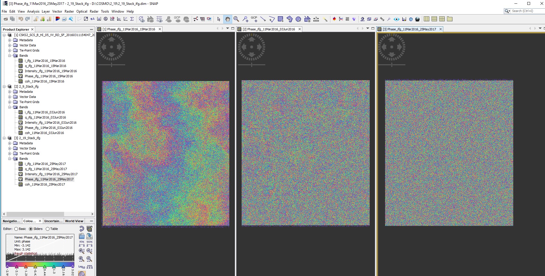
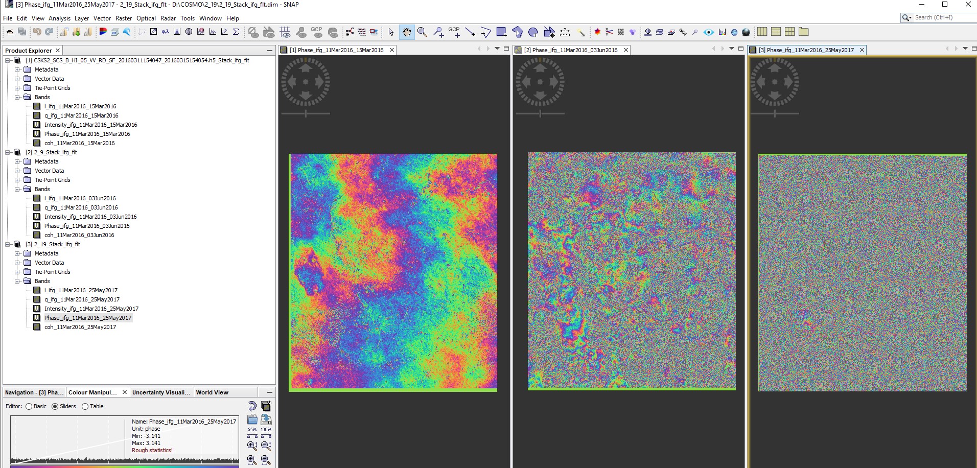
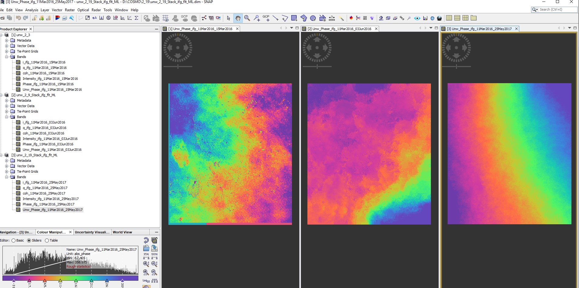
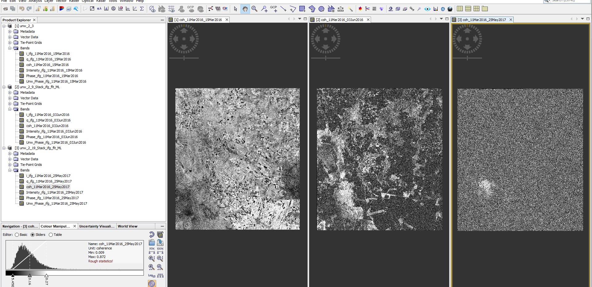
Can you please also show the interferograms of the three pairs?
according to these guidelines a perpendicular baseline of 150-300 m is recommended. While the first one is clearly beyond that, the second ones are rather short.
I suspect that the first one suffers from baseline decorrelation (please check the notes on the critical baseline), the second ones are not detailled enough to provide information on fine topographic variations.
Lastly, temporal decorrelation clearly leads to low coherence and random phase signals in the second and third. Is there much vegetartion in your area?
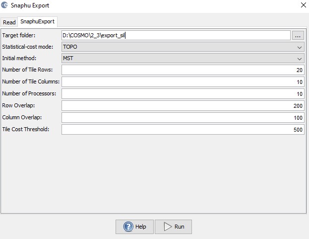
the unwrapping parameters can help to remove smaller errors or tweak the best possible results, but they cannot restore information lost due to phase decorrelation.
Ideally, you have a 1-day image pair with 150-300 m of perpendicular baseline from the dry season with the least possible vegetation cover. That’s all you can do from the data acquisition side. If this still results in bad quality, there is too much vegetation in the area for proper interferometry.
I’m afraid, yes. Any place on earth with vegetation is difficult for interferometry unless you have bistatic data.
Please also have a look here: Generate DEM in forest area