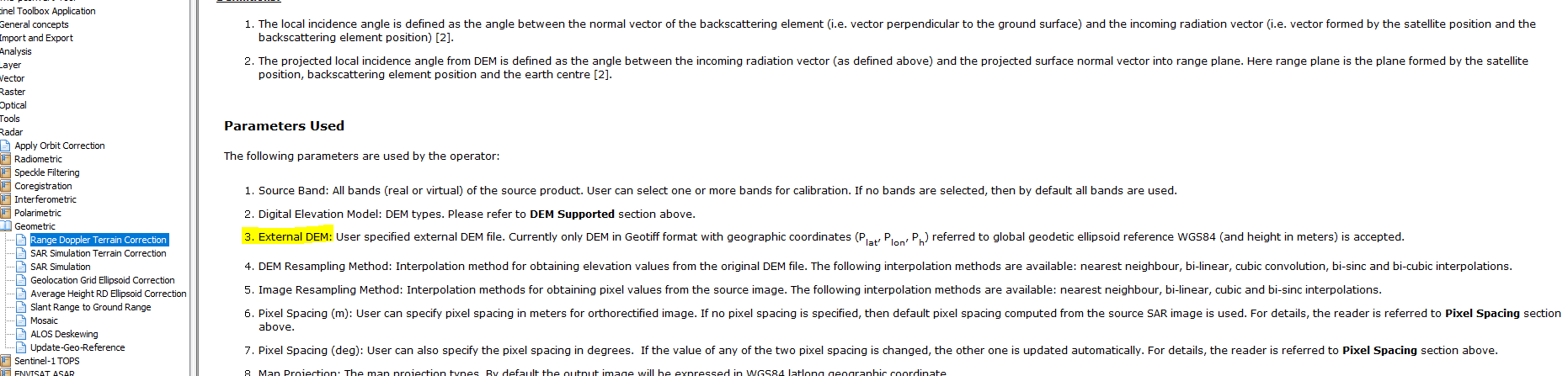
Using Range doppler terrain correction, it’s possible to use an external digital elevation model, but which is the file format of it? It always give me an error
Using Range doppler terrain correction, it’s possible to use an external digital elevation model, but which is the file format of it? It always give me an error