Dear
Dear @ABraun
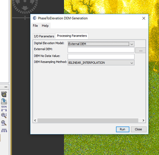
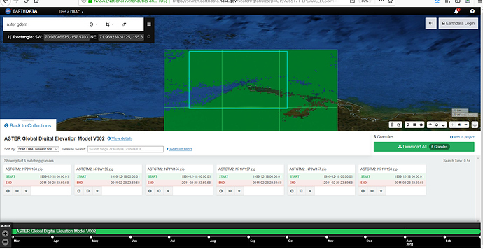
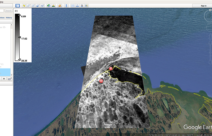
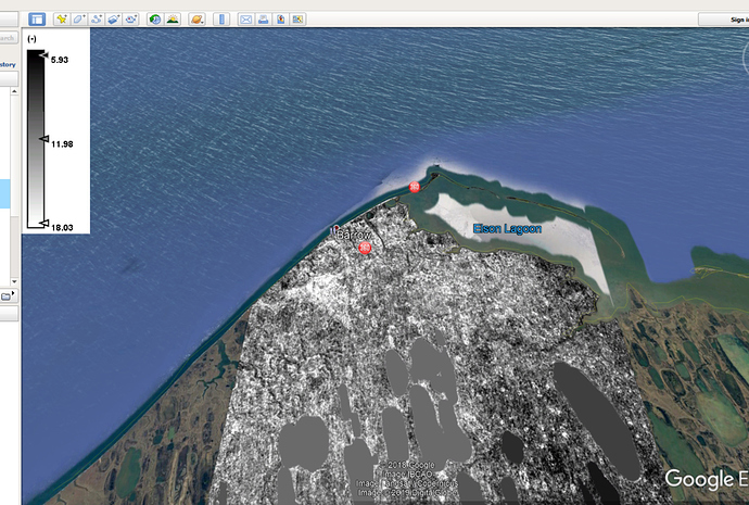
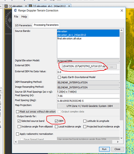
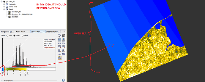
I used this ’phase to elevaton’ option in SNAP and then I used ‘External DEM’(figure1) but the problem is for ASTER data, there is some error values over sea (figure2 and 3) that I removed them by MATLAB (figure 4) and then used it in SNAP but when I made a DEM from TanDEM-X, I also chose ‘DEM’ option there (figure5) but I do not know why DEM values over sea are (-1,…). (Figure 6)
It is weird, it should be zero and I do not know this minus values are coming from where?
Figure1.
Figure 2.
Figure 3.
Figure 4.
Figure 5.
Figure 6.
