your picture really clarify the problem,but i want to know how does snap remove flat_earth phase(in sarscape a step called flatteing is dealed)?
another question in DEM generation I need to keep the topo phase,but how to remove flat_earth phase and disp phase in snap
Did you take a look at this tutorial,
It explains step and answers your question,
Also the following one,
really thank you,the flatt phase is removed during interferometry
when i choose phase to elevation,the result is black?
how to export dem to envi or arcgis format?
Please update snap and use the SRTM 1Sec in the Phase To Elevation module.
No export needed, the img files in the data folder are already GIS compatible and basically ENVI raster files. But your last step has to be Range Doppler Terrain Correction to put the data into a coordinate reference system.
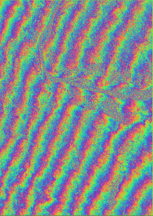
this is my Phase_filter img in snap:
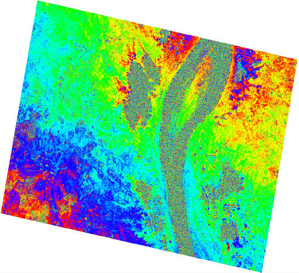
and compared to the sarscape :
there are so many fringe in snap picture
you means when transfor phase to elevation,which i shoud choose to generation DEM
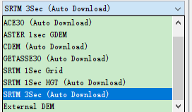
It’s worth trying the other SRTM, yes.
About the fringes: much depends on proper coregistration and use of metadata. Did you apply orbit files as a first step?
The SARscape image looks like it’s already unwrapped (no more fringes)
NO,becasue my data was alos-2 not sentinel
Right, sorry.
SNAP still seems to have problems with ALOS orbits…
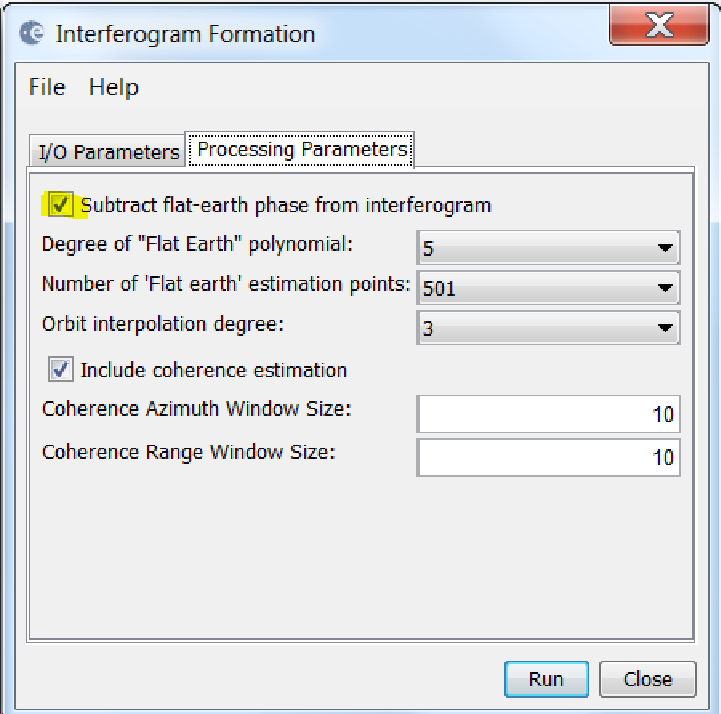
maybe i forget to check the sub flat-earth option
do you know how to differ the phase to heigh and phase to elevation?
You find many answers with the search function: Phase to elevation vs phase to height
Hello, I want to ask if there are two bands in generation DEM exported by SNAP. Band_1 and band_2 have different DEM data.