hi
i try to generate the DEM following the next steps:
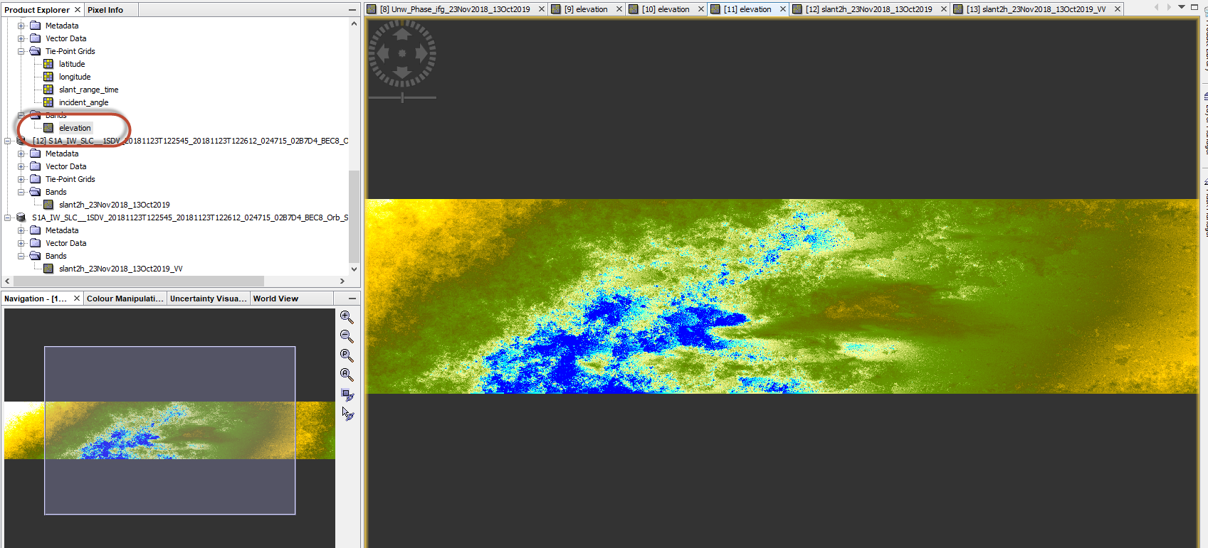
Step1–OpentheProducts
the result is :
and Global Mapper visualization :
what is the error?
ABraun
January 10, 2020, 5:12am
2
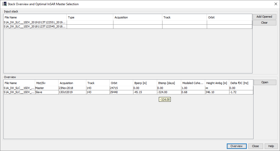
What is the temporal and perpendicular baseline of your stack?
C-band data rapidly decorrelates over vegetation.
Where is your data located?
Please also read these comments on the limited suitability of Sentinel-1 for DEM generation: Phase to elevation error
Btemp is way too long - try 12 days next.
and the baseline is correct?
Somewhat longer would be better.
ABraun
January 10, 2020, 6:34pm
7
you can use the ASF Baseline tool to find images with perpendicular baselines (ideally 150-300 meters for DEM generation, but Sentinel-1 doesn’t offer this very often). https://baseline.asf.alaska.edu/#/baseline